


Mam Tor, or “Mother Hill”, is one of the most famous peaks in the Peak District in Derbyshire. Standing above the village of Castleton and next to the popular Castleton show caves, it features in some of the best walks in the Peak District… and if you’ve not been, then you should definitely add it to your Peak District bucket list!!
There are remnants of a hillside fort thought to be from the late-Bronze Age or early-Iron Age (2,500BC – 700BC) which makes it one of the earliest hillforts in Britain, with some nice plaques illustrating some artefacts on the way up. And once you reach the summit the views are stunning!!
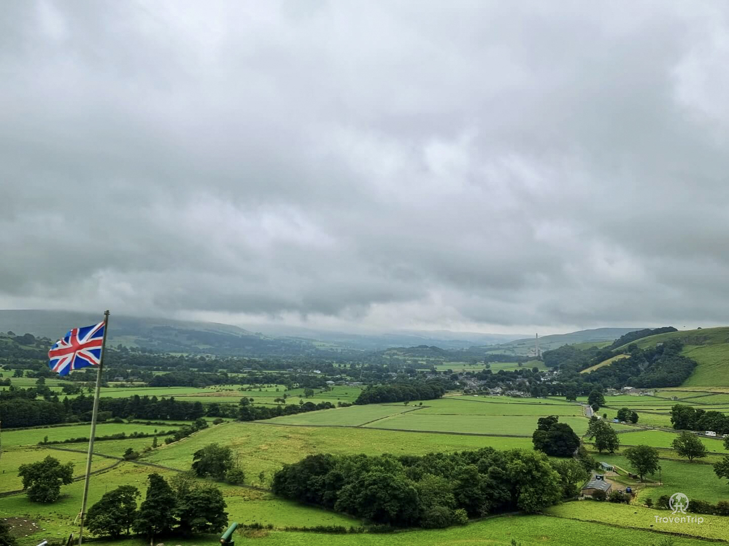
In one direction you can see the peak of Kinder Scout, the highest hill in the Peak District (or at least you can on a clear day), and the other direction looks out over the beautiful Hope Valley.
I spent a day in Castleton where I also visited the Devil’s Arse cave and Peveril Castle, but I started off with a hike up Mam Tor which also took in the mountain pass road Winnats Pass and Cave Dale, a dry limestone valley running from Castleton to Chapel-en-le-Frith (ironically it was anything but dry as I walked through it!!)
Winnat’s Pass
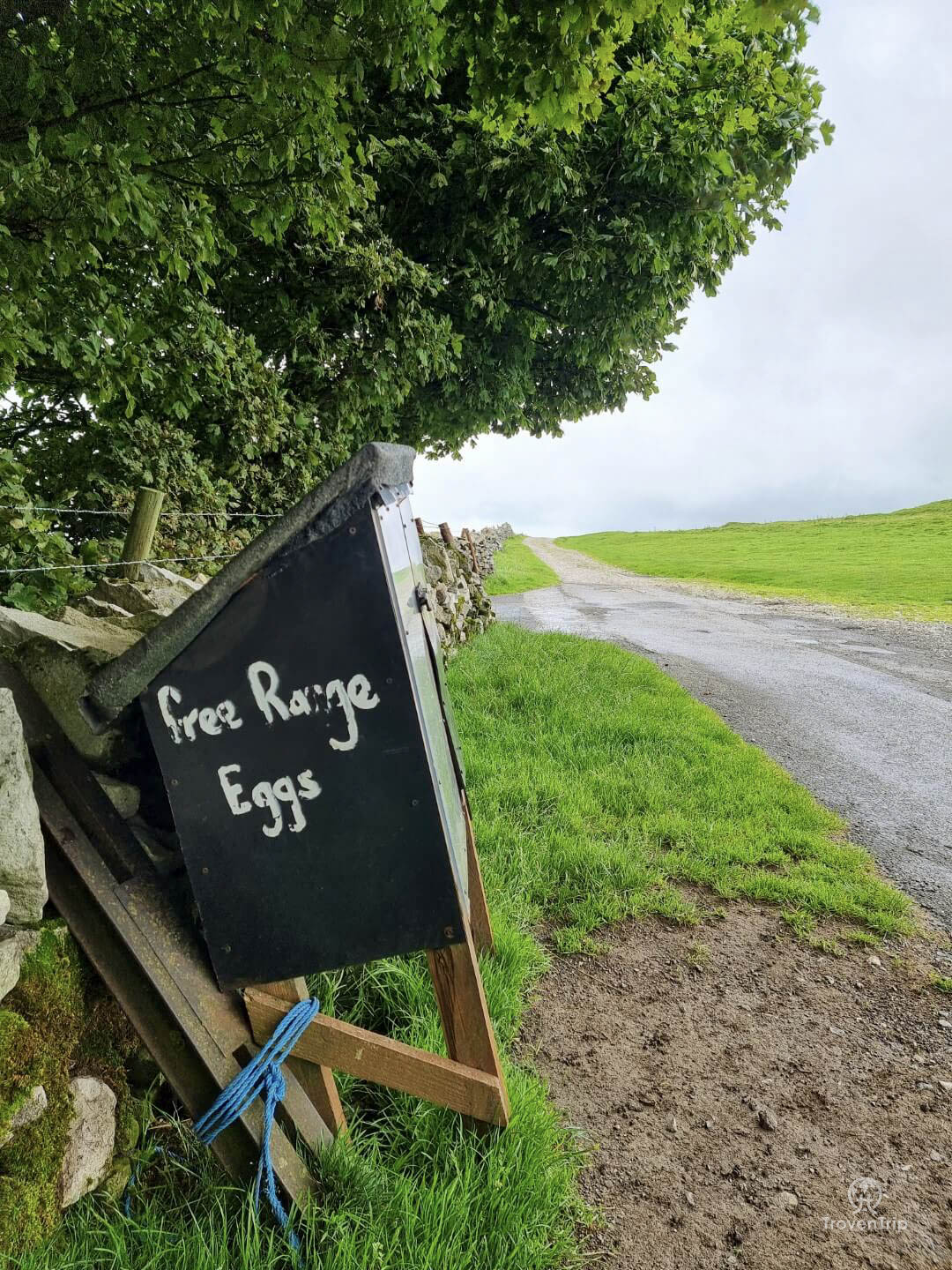
The walk starts in the Devil’s Arse carpark and passes through a very pretty edge of the village before entering the open fields and heading in the direction of Winnats Pass…
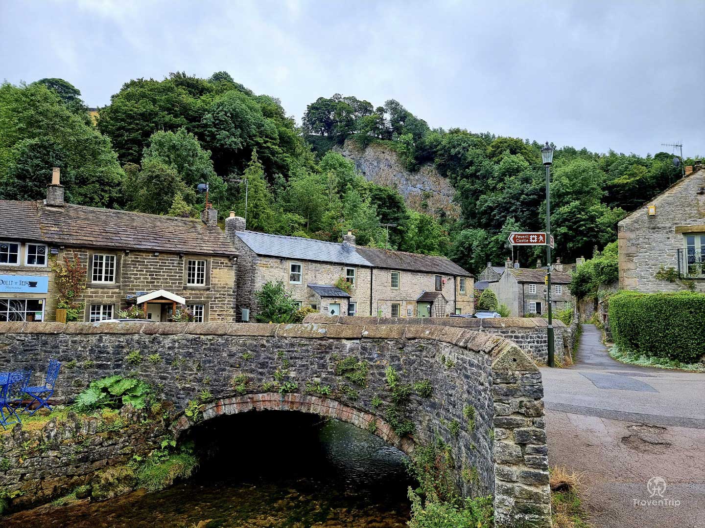
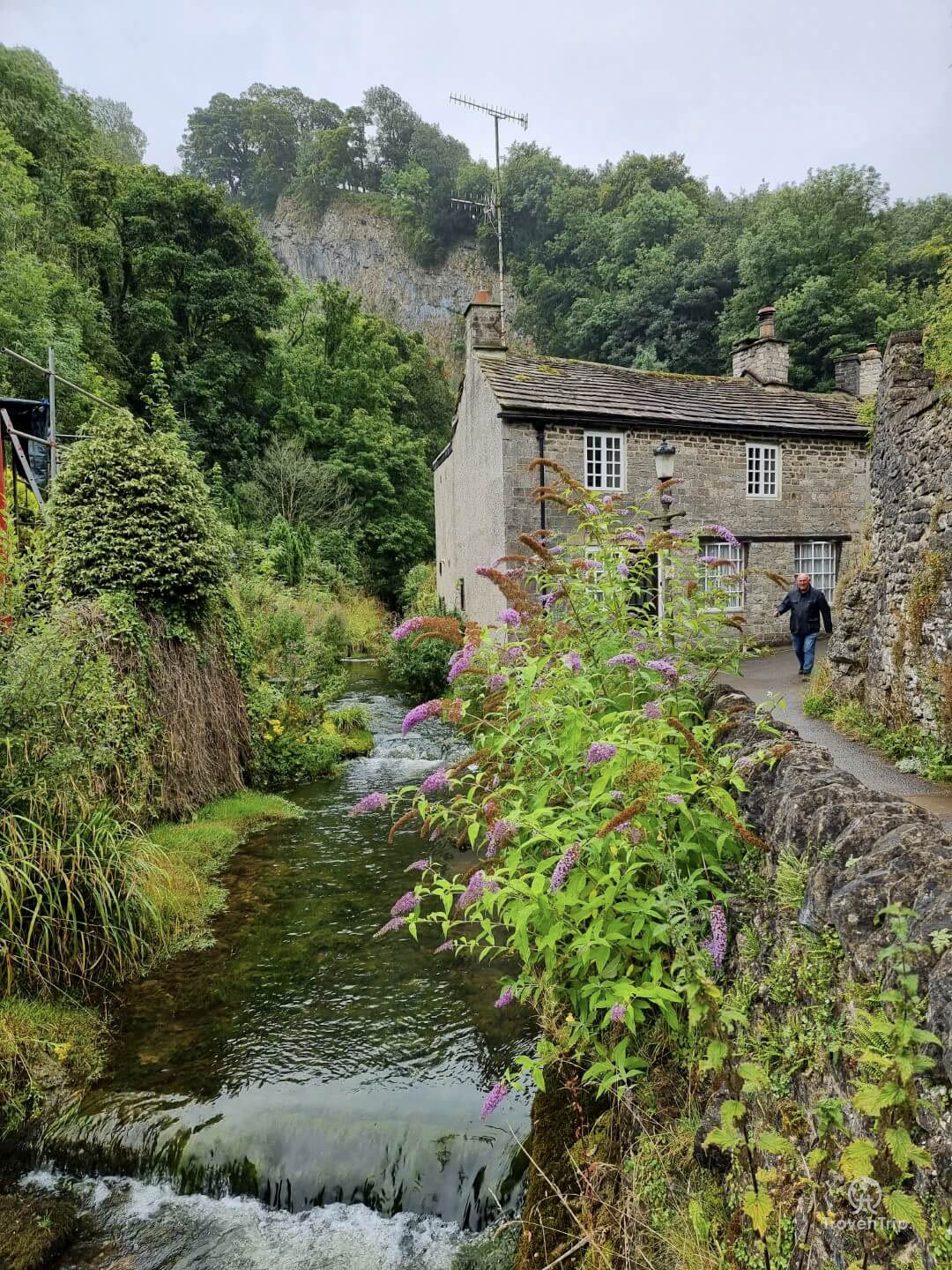
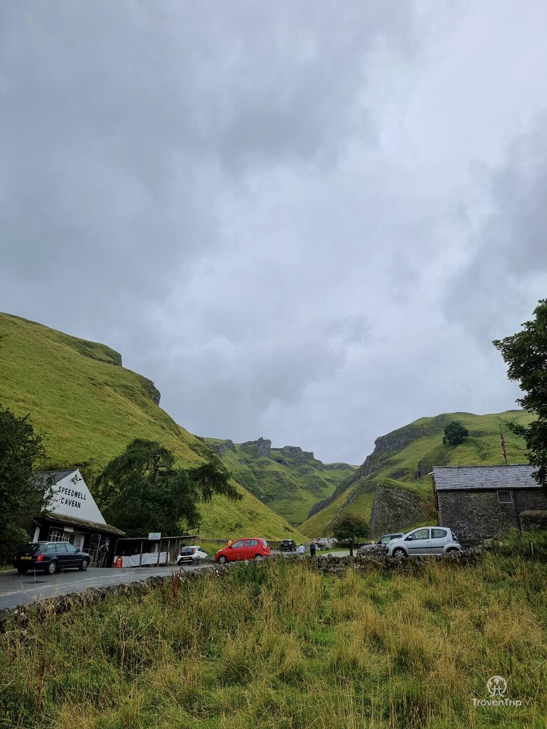
After crossing the road at the carpark for Speedwell Cavern, the path begins to get steeper as I climb uphill and pass Treak Cliff Cavern and reach Blue John Cavern (the other 3 show caves as well as the Devil’s Arse, or Peak Cavern). While the walking is getting tougher, the views are only getting better…
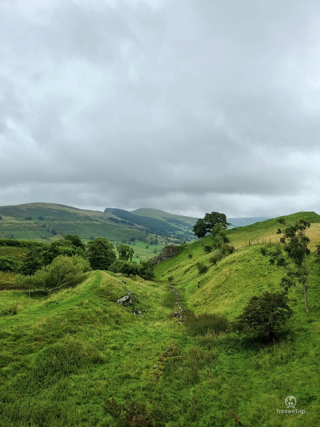
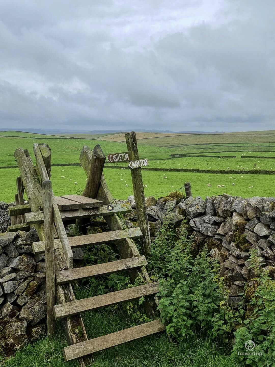
I join Old Mam Tor Road (which was closed in the 70’s due to the frequent landslides) and then enter the adjoining the field to start the ascent to the summit…
Before reaching it though, I meet another road and what seems to be more of a tourist entrance… there is a car park up here so can you enjoy the views from the top without the effort! (details at the end of the blog)
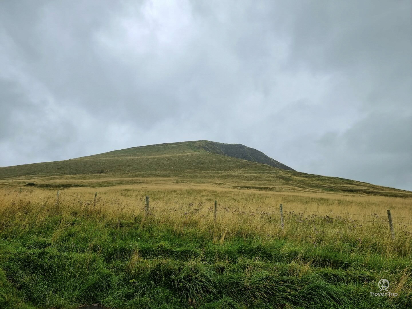
Mam Tor
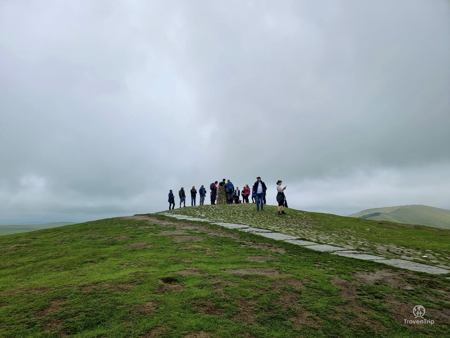
The route to the top is now a well signposted and fully paved path and the for the first time today I’m joined by a lot of other people… most of which are probably thinking “why is that guy so red and out of breath when the carpark is just there?!”
I’m hoping my muddy legs and hiking gear makes it clear that I’ve been on a longer walk than just from the carpark, but as I reach the top and see the view, those thoughts evaporate… wow!!! Even in the cloudy rainy sky I can see for miles around, and the clouds actually make the view even more dramatic!
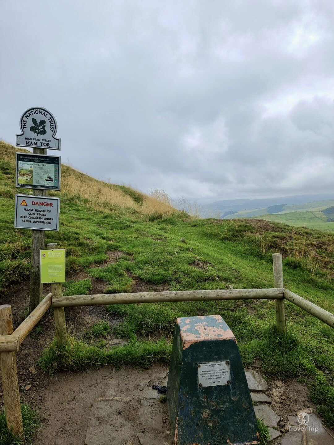
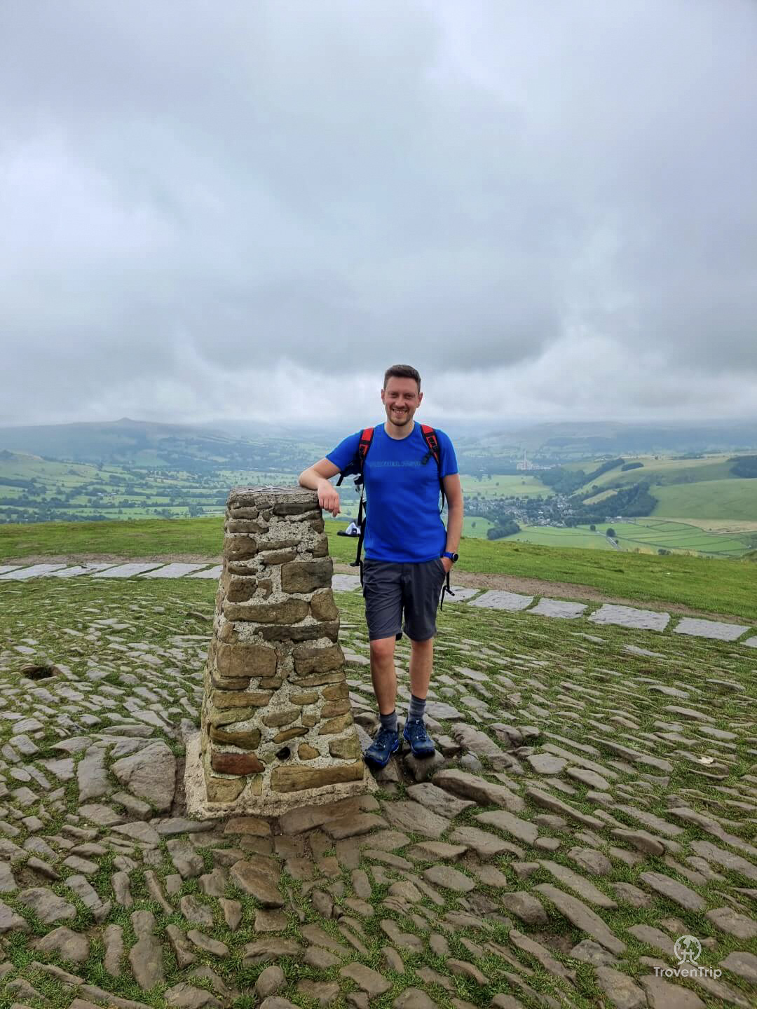
I walk around the top admiring the view from all directions before joining the queue of people to get a photo with the trig point. And then find a quiet spot and have a snack to refuel after the trek up here.

The route down is the same way as I came up and as I leave the paved pathway and enter the fields again the crowds soon disperse and I’m back on my own. I go through a gate and after following the track for a while and making some new friends on the way, I cross another road and head towards Rowter Farm and campsite.
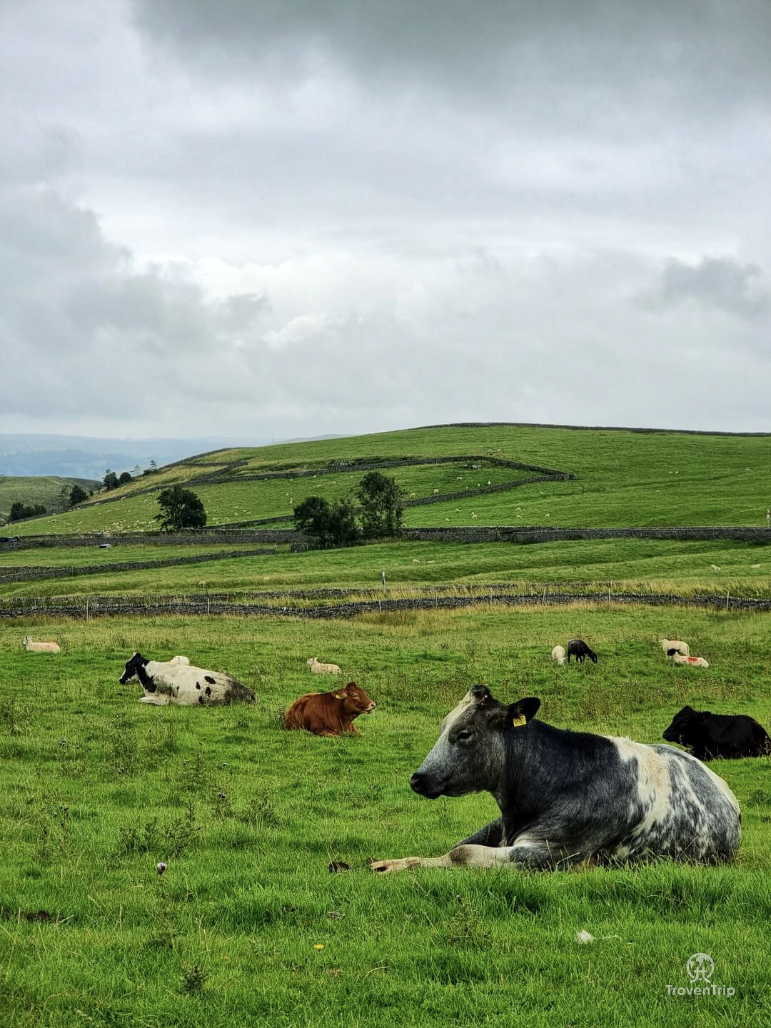
This part of the walk is pretty boring actually, just following a straight track for a couple of kilometres, and I start to wonder if I should have taken the earlier turning back towards Castleton that I passed next to the farm.
It’s also started to rain so I stop for another change of clothing… I started off in t-shirt and trousers, now I’m in raincoat and shorts!
After a few more minutes I leave the track and climb over a style, and now start to follow a sign towards Castleton. Again, I’m thinking why did I bother with this extra 2km long cut…
Spotting what looks like a dead tree and the ruins of an old farmhouse I veer off-track and go to investigate, and although I don’t find any information on what it is, I get some pretty cool photos with Mam Tor in the background (complete with the line of little people on the summit!)
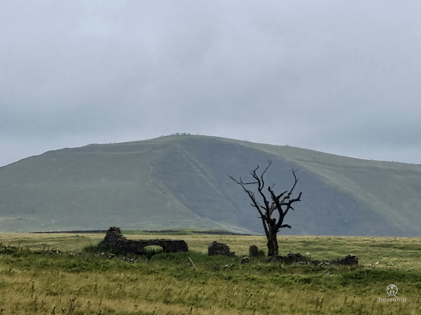
The ruins are completely overgrown so I can’t get too close, so make my way back to the track and continue on my way. Only am I going the right way? My GPS watch seems to want me to climb over this wall and jump down into the valley below??
I check the map and yep, I think in going to look at the ruined farmhouse I’ve actually missed my direction and have ended up on a wrong track. I can either double back and try and find the right way down to the bottom of the valley, or continue on this track which is also heading back to Castleton.
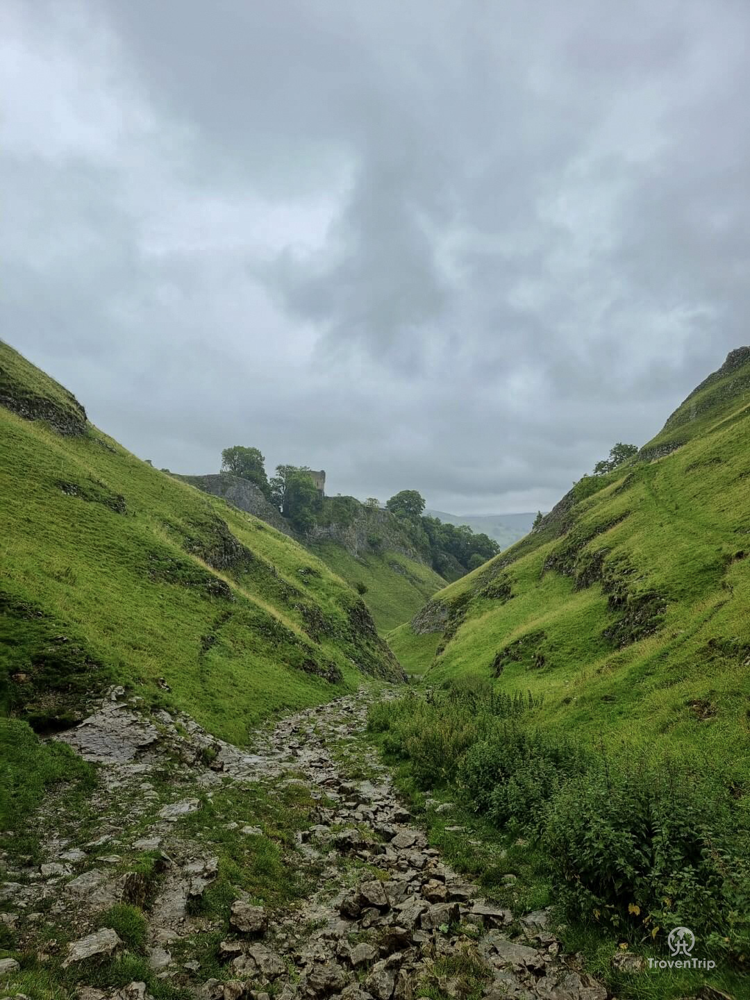
Cave Dale
The rain is getting heavier and my knee is starting to hurt, but something is telling me to go back and follow the right route rather than carry on the way I’m going. Ok then I sigh to myself, let’s go back…
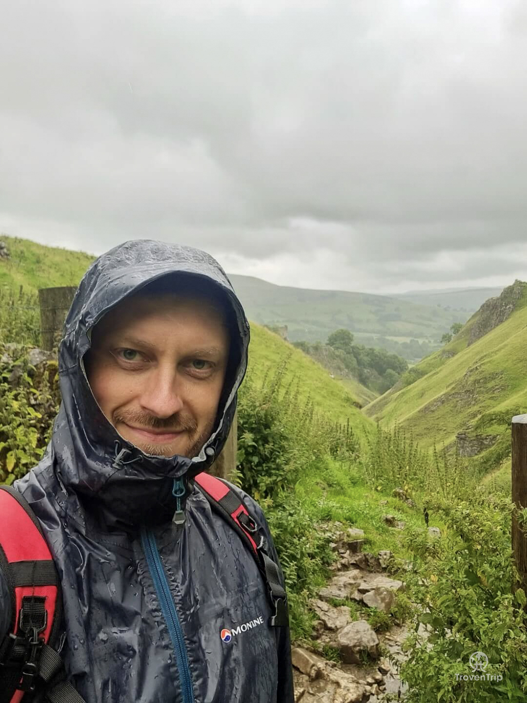
The rain is absolutely pissing it down now (but my Montane raincoat is doing a fine job in keeping me dry… anyone from Montane reading this and wants to offer me some gear to try out then please reach out ?), and the nice soft grass has turned into a very rocky and slippery riverbed, with water rushing down and over my feet as I make every step.
Each step is taken carefully to make sure I don’t slip and turn my ankle, so my eyes are glued to the floor. But as I stop and look up… oh my god… I think I’ve just entered a scene from Game of Thrones!!
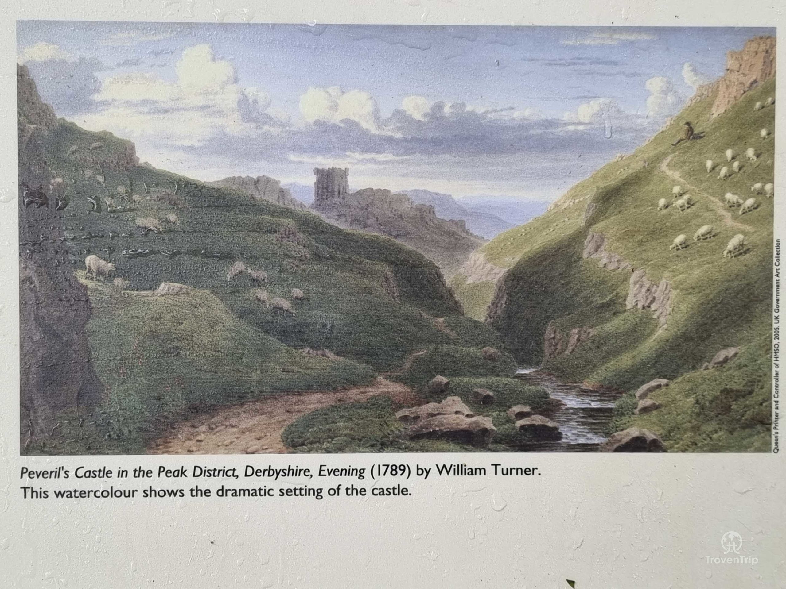
I’m standing in a deep valley with sides which look over 100ft high… the rocky path is weaving its way through the valley floor as far as I can see… and high up on top of the cliffs is a castle!! It’s a very different type of view than that from the Mam Tor summit, but it’s equally as jaw-dropping and dramatic!! (to see how little the area has changed over the centuries, check out the William Turner painting from 1789 in comparison to my photos)
As I make my way further down the valley I can hear a really strange noise… like heavy breathing coming from inside the cliff walls! I turn a corner and there’s an entrance to a cave, I wonder if this is the Devil’s Arse and what I can hear is him farting??
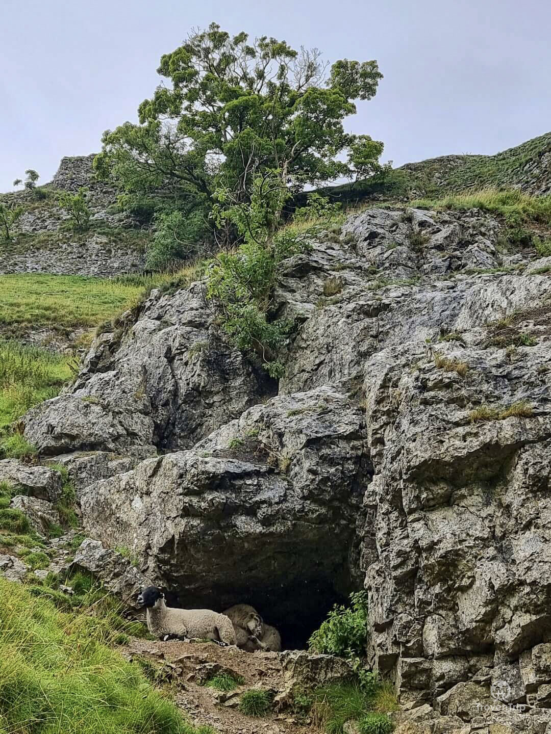
The rain is easing off now but I spot some sheep taking shelter in a cave, and then my walk ends a couple of hundred metres further on as I leave through a gate and get back into Castleton. There are a few information signs showing the “entrance” to Cave Dale, although I’ve come the opposite direction and this has been my exit.
I head back to the car to dry off and refill my drinks, and despite my aching knee and the heavy rain towards the end, I thoroughly enjoyed that! An amazing walk with some very different scenery and challenges, one I’d highly recommend to anyone looking for some adventure!
Where can I park for Mam Tor?
1. For my walk I parked in the Peak Cavern car park, Peak Cavern Road, Hope Valley S33 8WS
2. If you want to make see the summit without the walk, then you can park at National Trust
Mam Tor (Mam Nick), Sparrowpit Buxton, Castleton, S33 8WA
Be the first to leave a comment
Relateable posts
-
blog
-
United Kingdom
Apr 2, 2022Visit Clifford’s Tower in York after it’s radical £5m transformation!
After having been to York many many times over the last couple of years and…
-
blog
-
United Kingdom
Jul 31, 2022The Settle Flowerpot Festival… a Fun, Free, Family Day Out in the Yorkshire Dales
The Settle Flowerpot Festival is a fun and free day out in the Yorkshire Dales…