Closed roads and parking chaos scuppered my plans for a walk up Pendle Hill… so instead I spent the day randomly roaming around the Ribble Valley! But what better way to spend the Queen’s Platinum Jubilee than exploring some quintessentially English villages…
I’d planned to start my walk from the village of Barley, but it seems like everyone else has had the same idea and the car park is completely full! And with the roads cordoned off for Jubilee celebrations, there is nowhere to park at all.
So after circling the village a couple of times with no luck, I head off further up the road to the Pendle Hill parking lay-by not holding out much hope, and again find a long line of cars and no space to stop anywhere.
I stop in a passing place a little further up the road just to assess my options… the walk isn’t looking likely now, so what’s my plan B? Remembering back to our TrovenTrippers day out in the Ribble Valley and some of the places we didn’t make it to on that day, I check out the map and change my plan… rather than walk, let’s just have a driving day out and see where I end up!
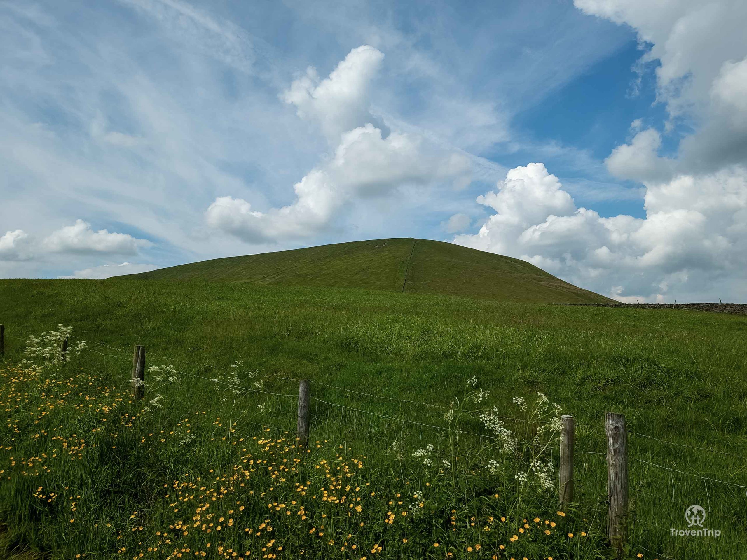
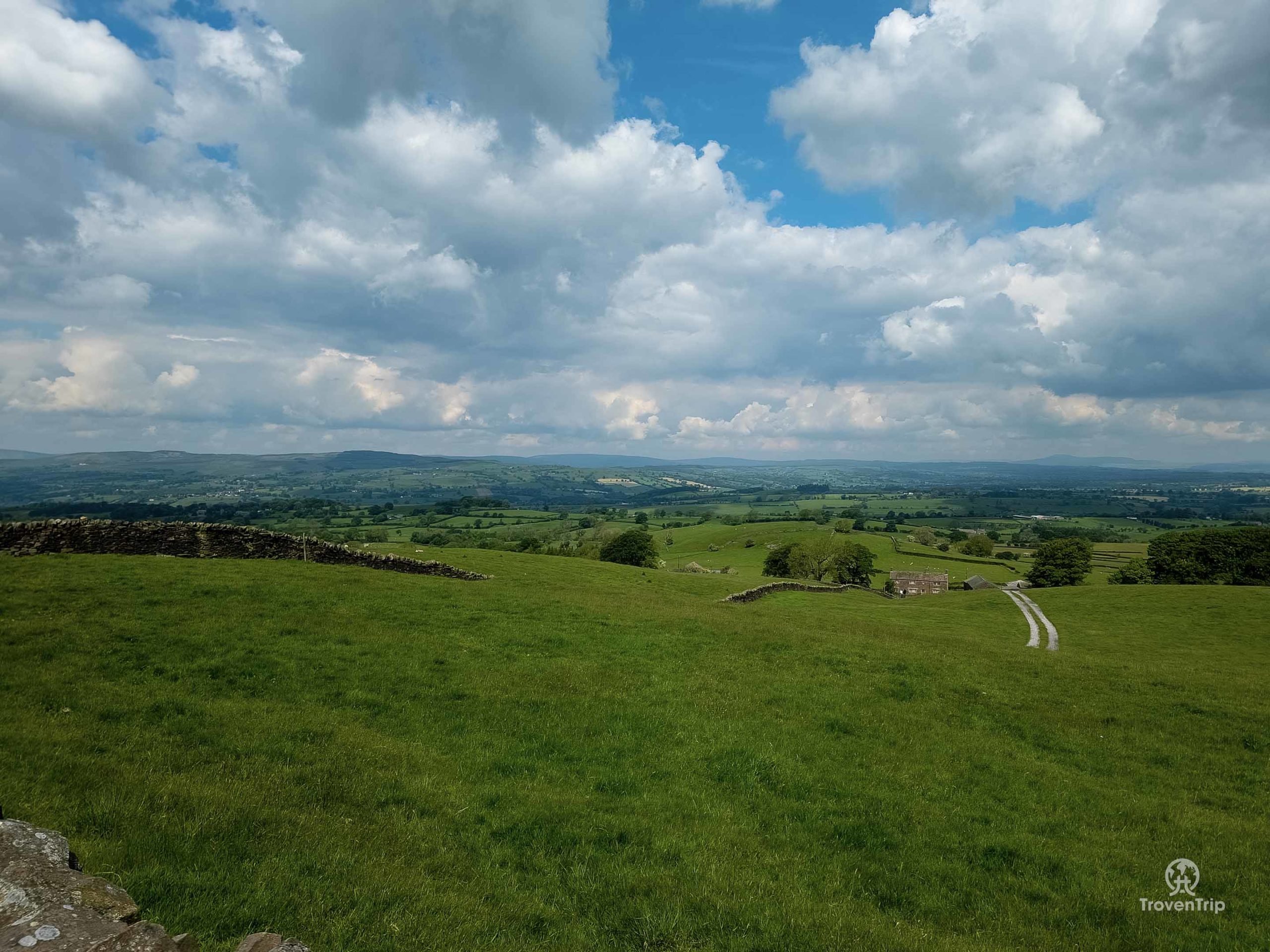
I take a photo of Pendle Hill and the view out over the Ribble Valley to the Forest of Bowland, realising this is probably the closest I’m going to get to the hill I was supposed to climb! And then drive on, passing through the beautiful village of Downham (somewhere we did visit last time so I won’t stop today), and taking my first proper stop of the day on the edge of Grindleton.
Grindleton
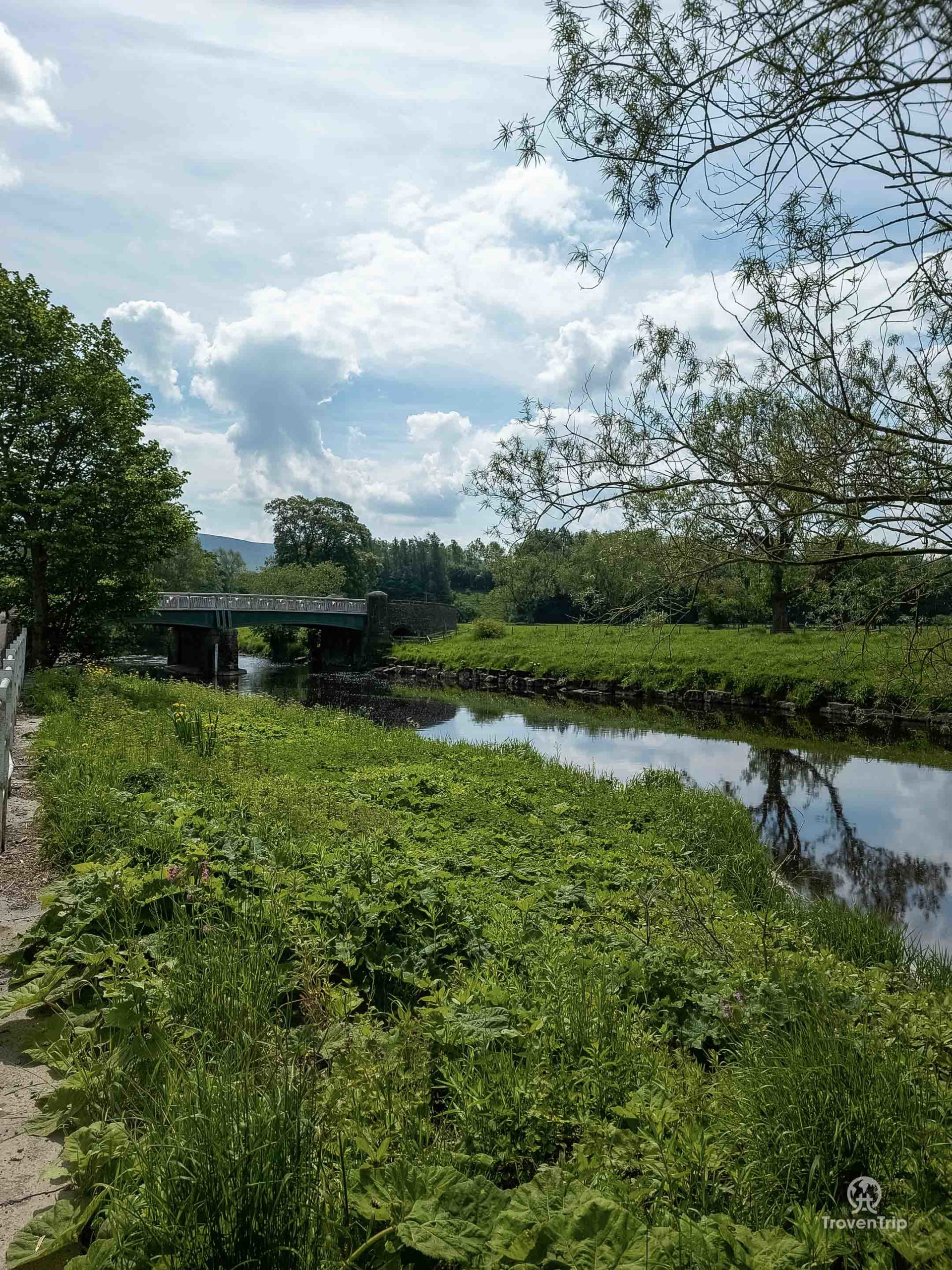
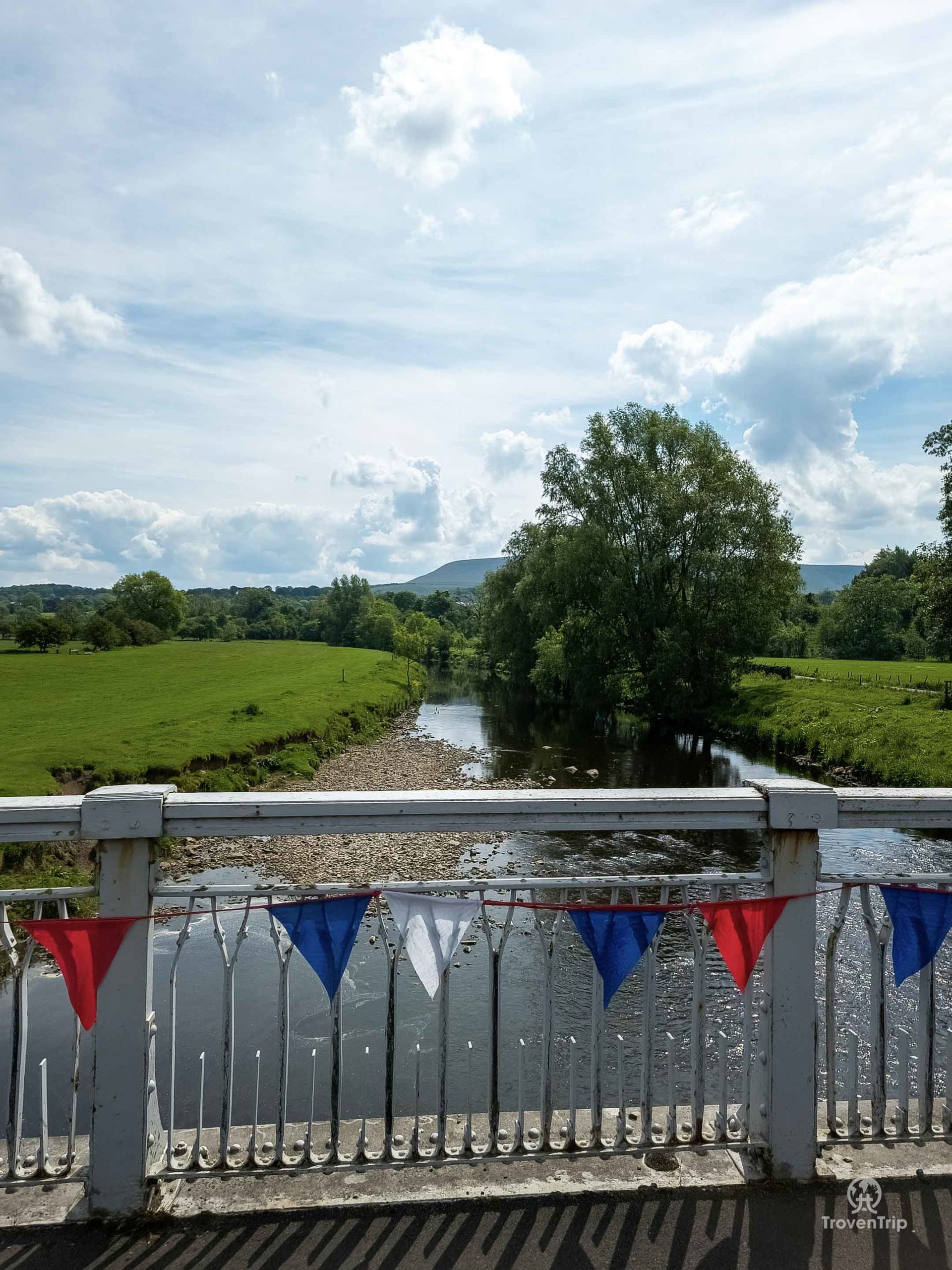
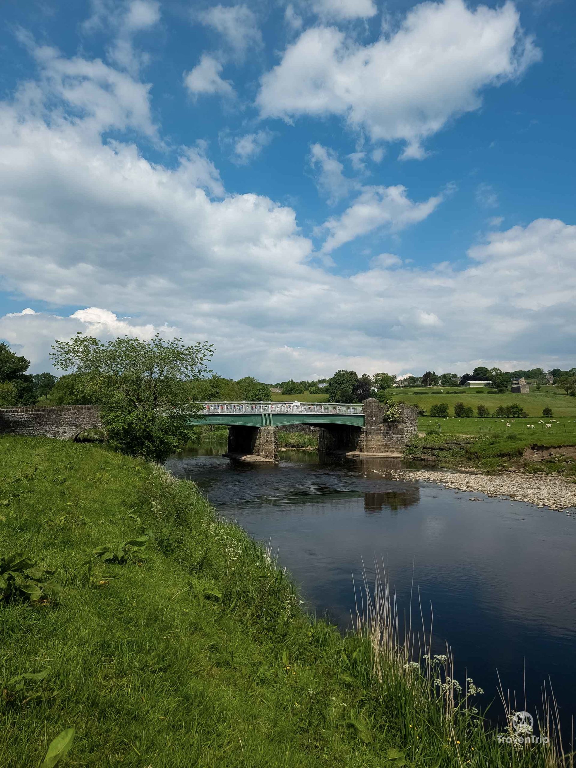
I cross a small bridge covered in bunting to cross the River Ribble and it looks like a very peaceful and picturesque place, so I park up and finally get to stretch my legs a bit and enjoy the warm sunshine.
There isn’t much to see but I can climb down almost to the river edge (being very careful given my recent history of falling into rivers!) to get some photos of the bridge and surrounding countryside, and it’s a very nice stop after the much longer than planned drive so far!
Waddingon
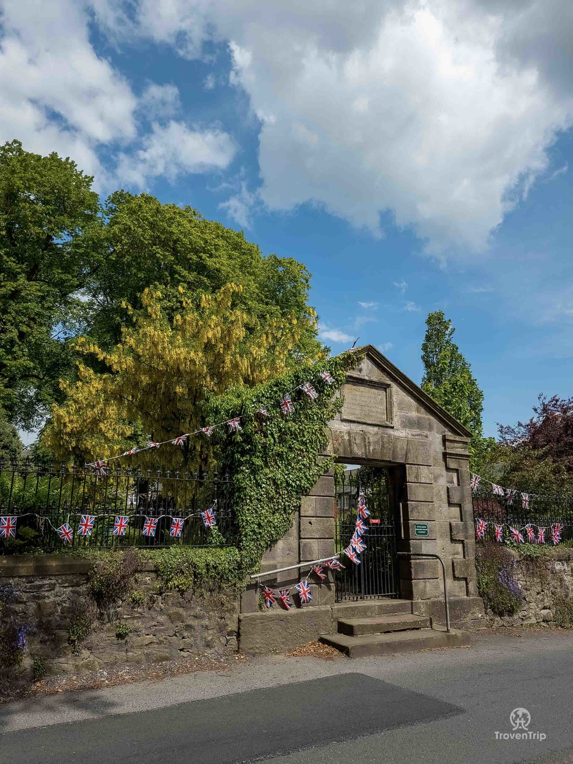
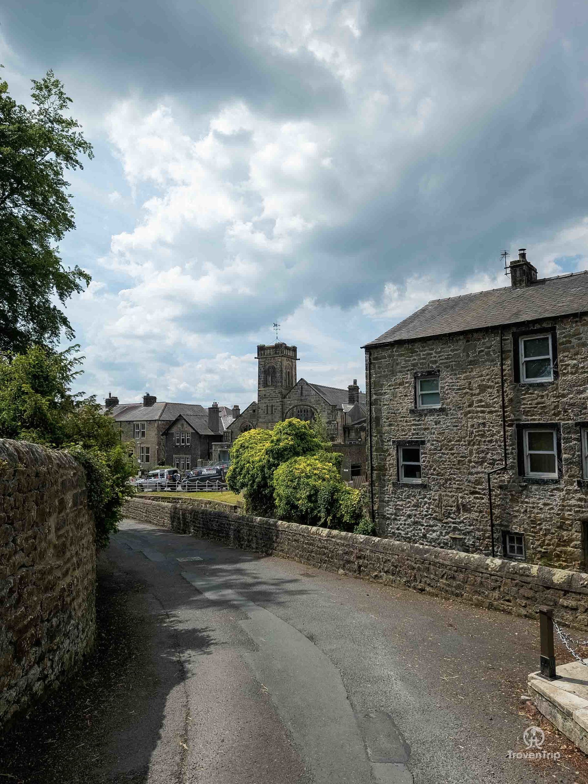
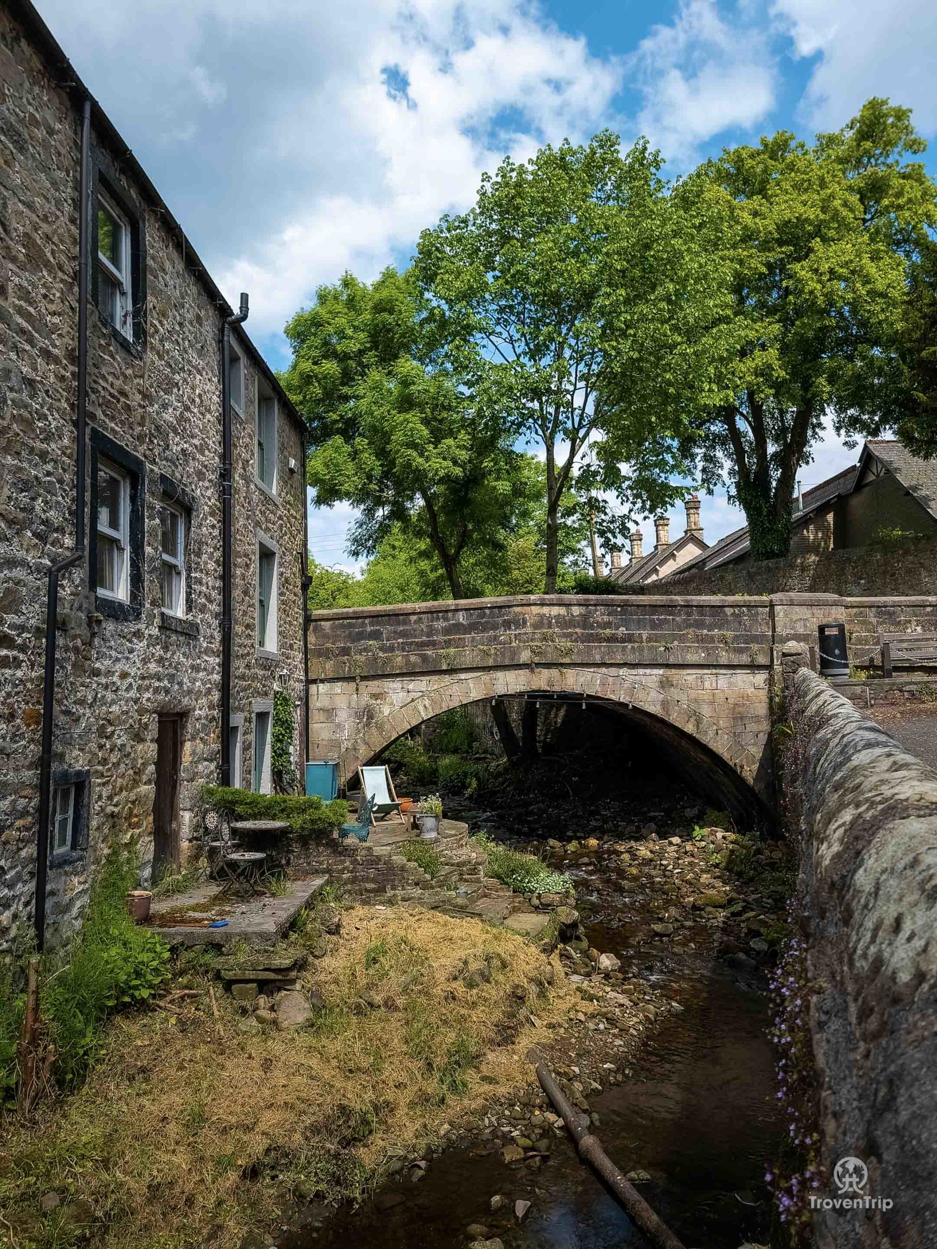
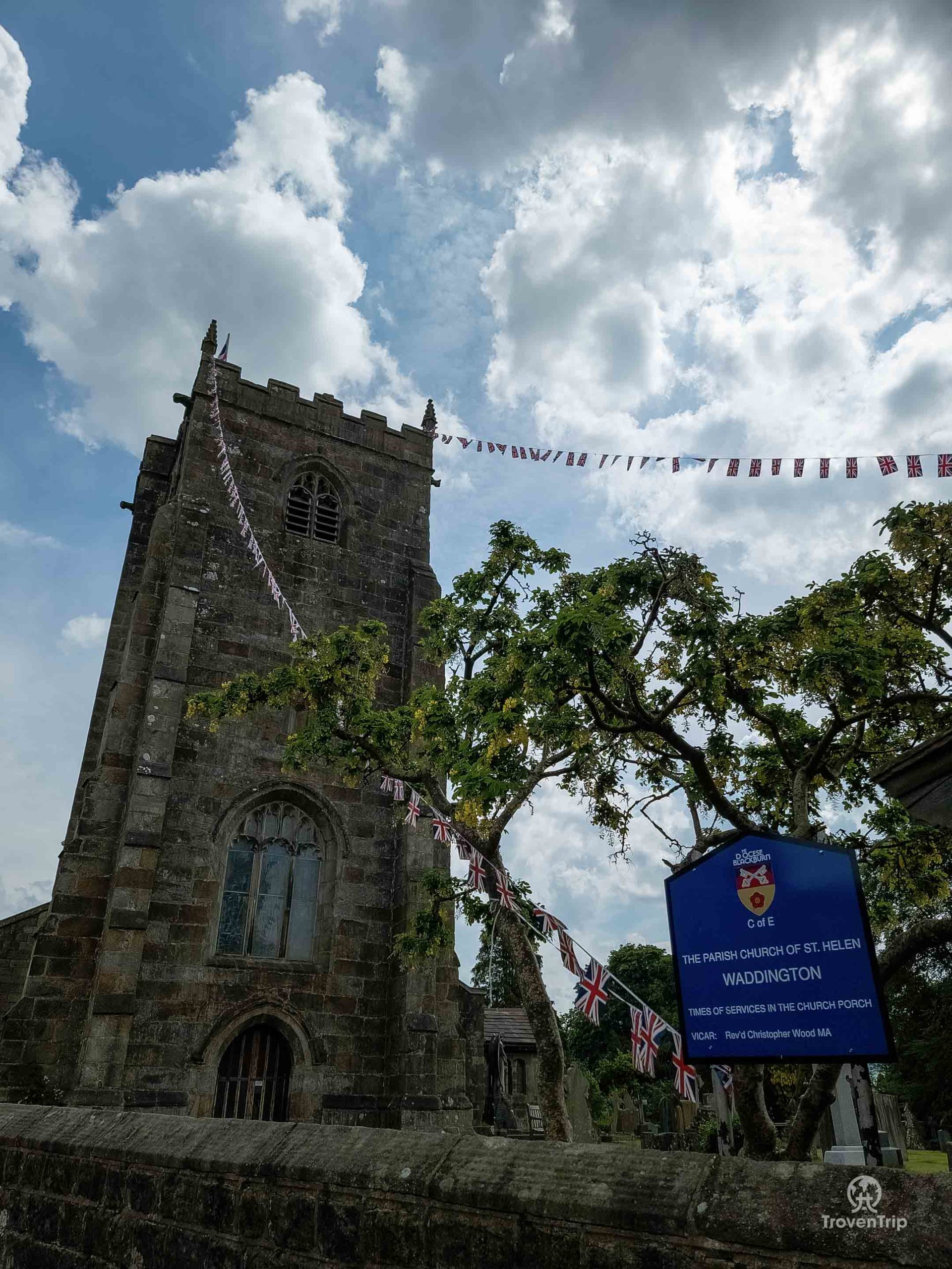
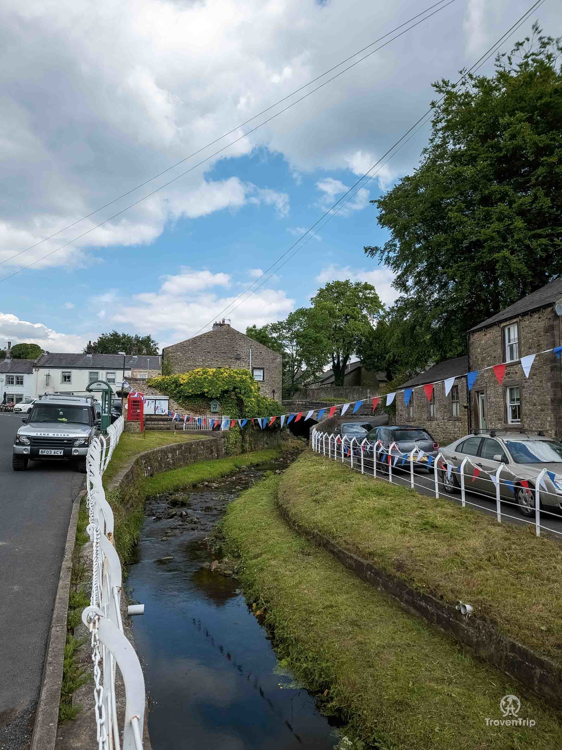
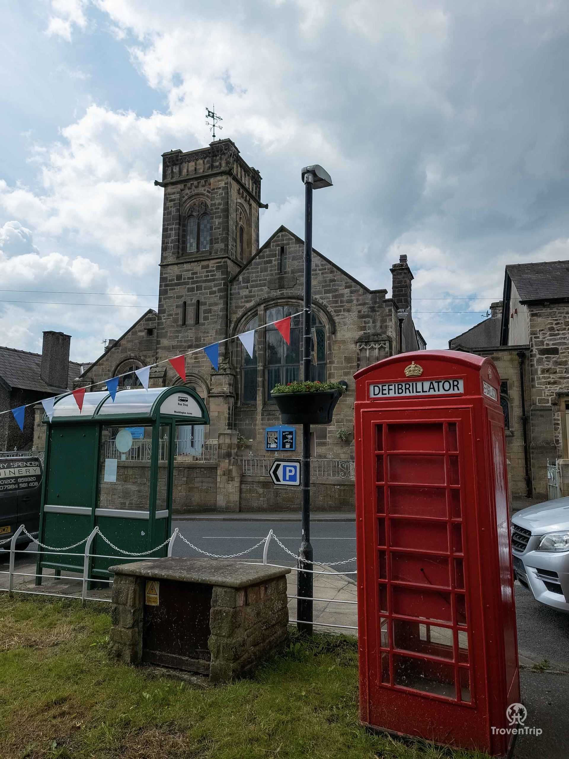
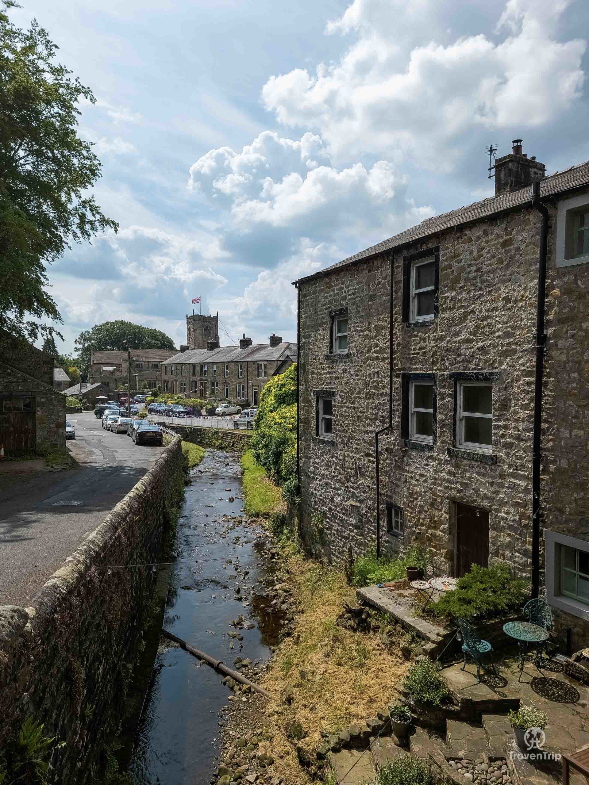
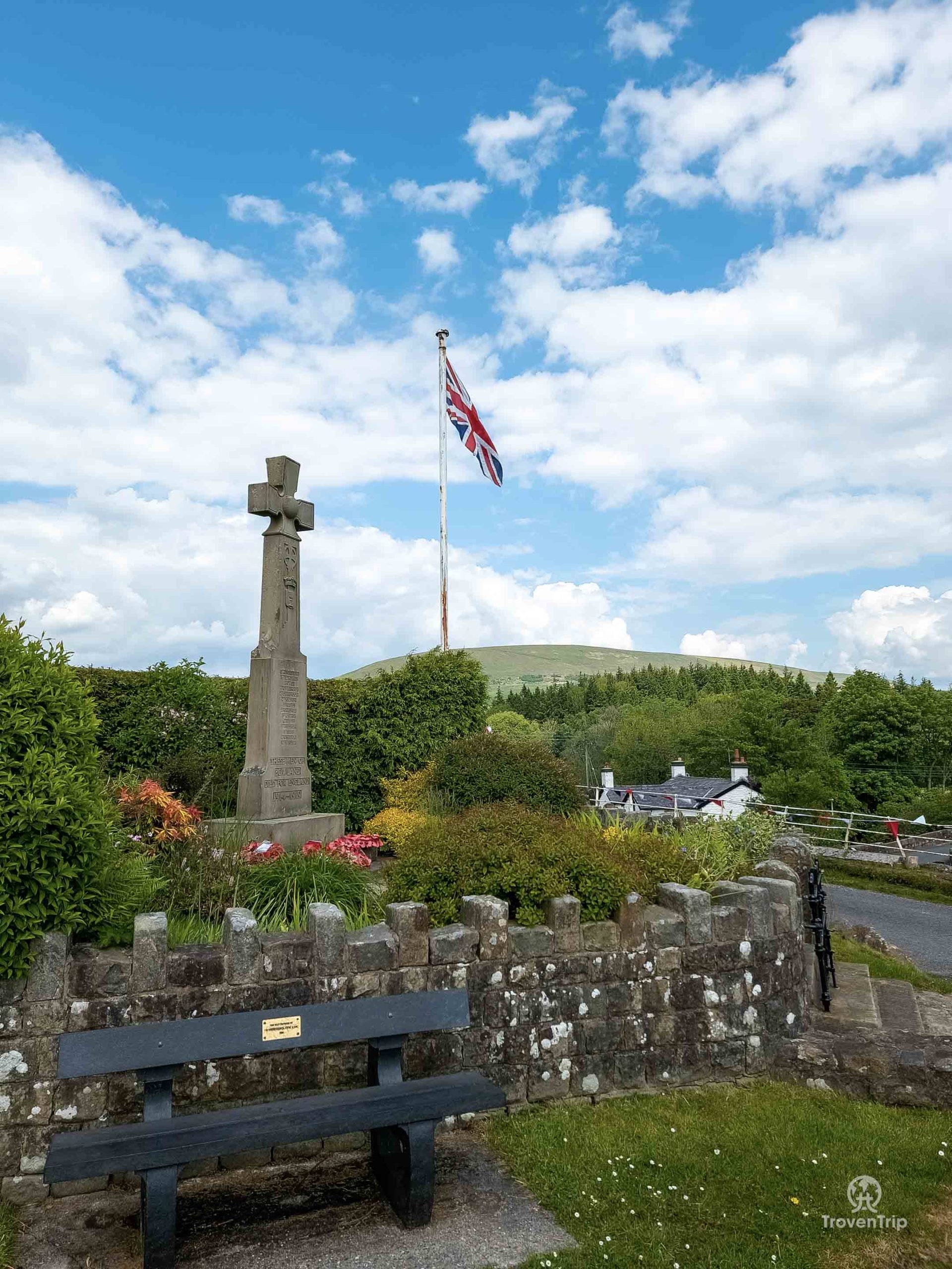
A couple of miles up the road is the village I’ve been heading to though… Waddington, “the best kept village in Lancashire” as the awards say. And it is a very pretty little village… there are a few pubs which are just opening and setting up the tables outside, a small post office and village store (with a big SUV parked right outside ruining any potential photo!), St. Helen’s Church which appears to be holding a Jubilee service so I don’t venture inside, and a brook runs through the centre. The village looks like something straight from a postcard, and it has a rich history with King Henry VI having resided there briefly in the 15th century… it’s well worth a stop!
Dunsop Bridge
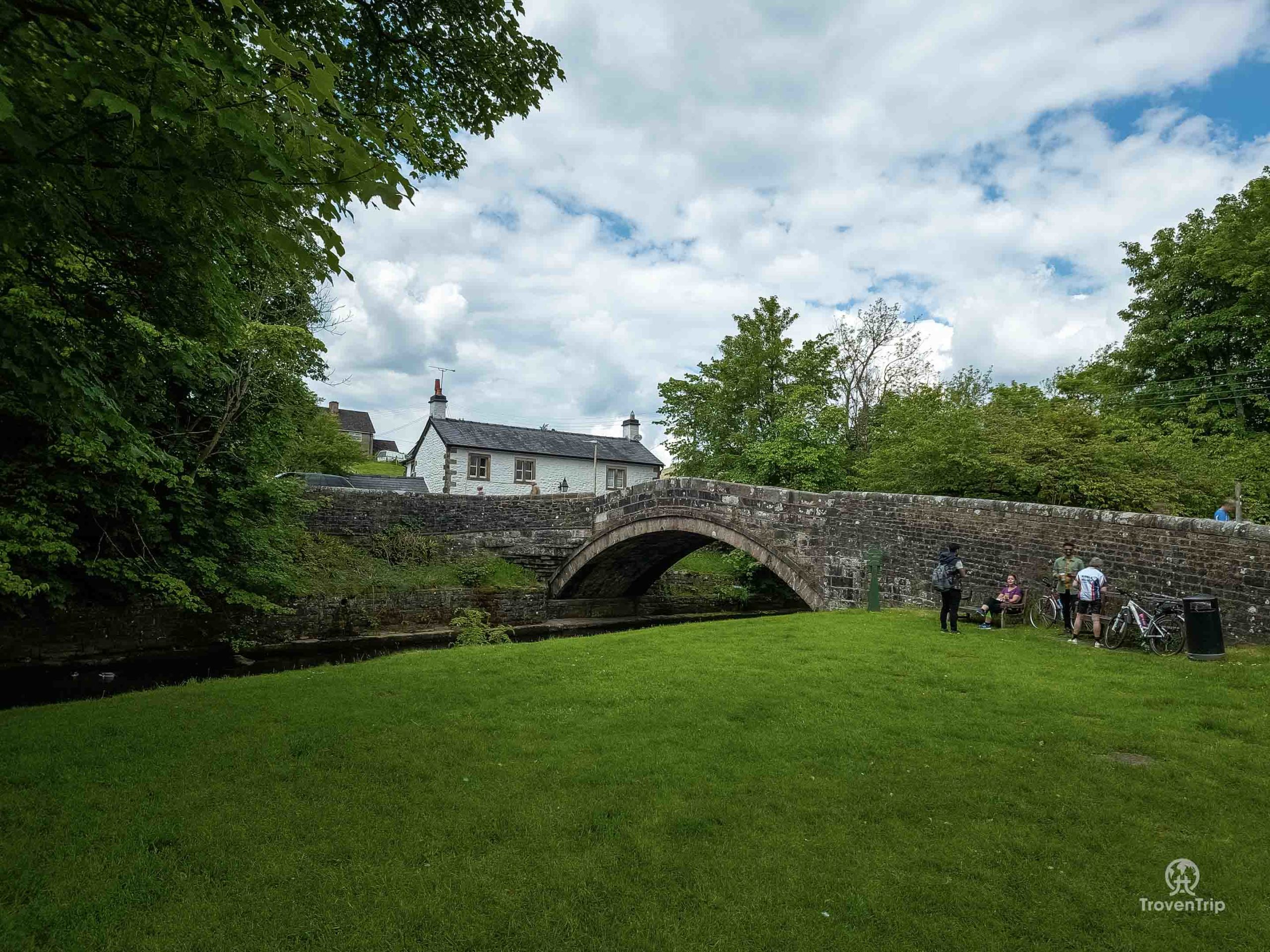
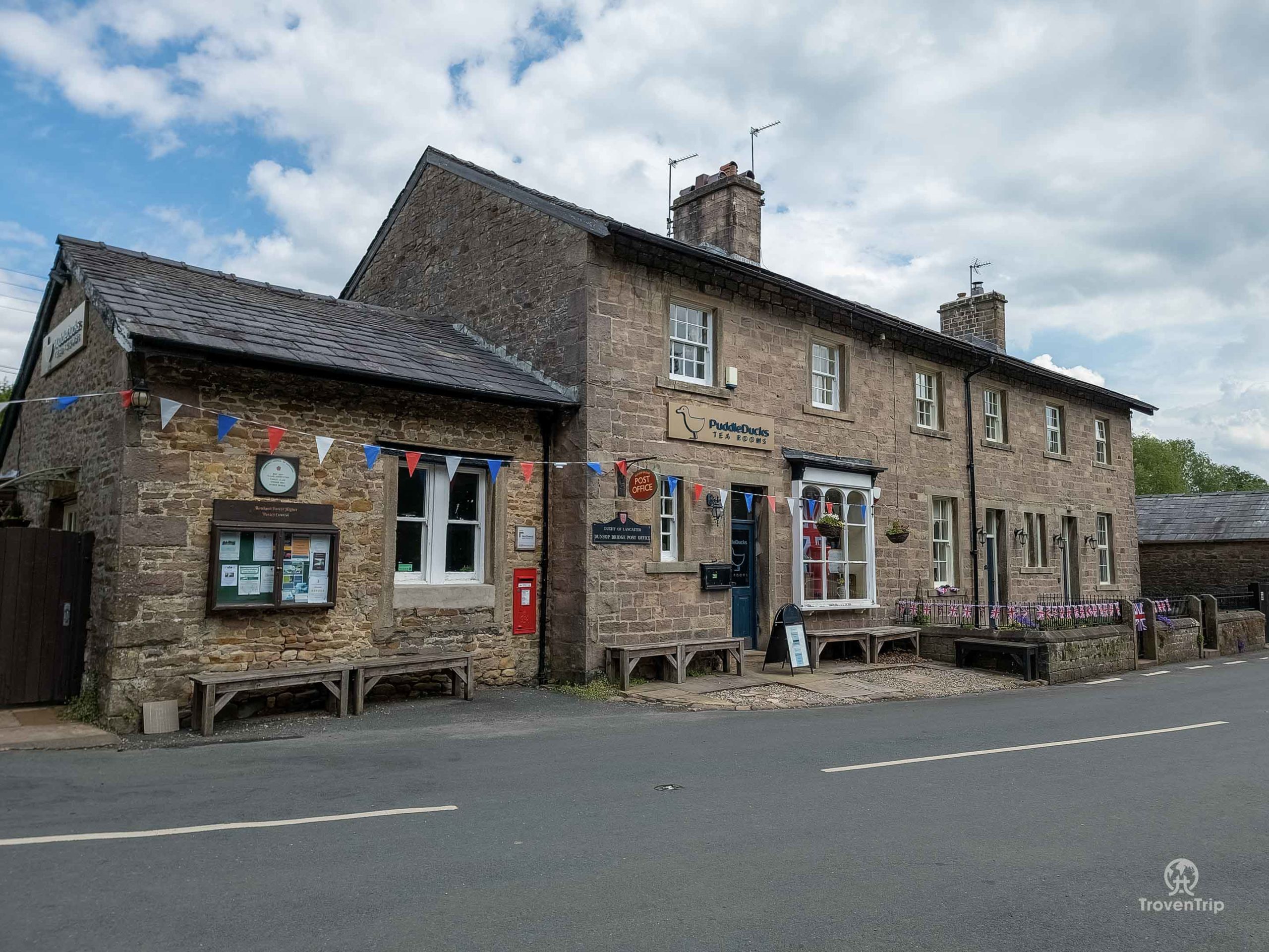
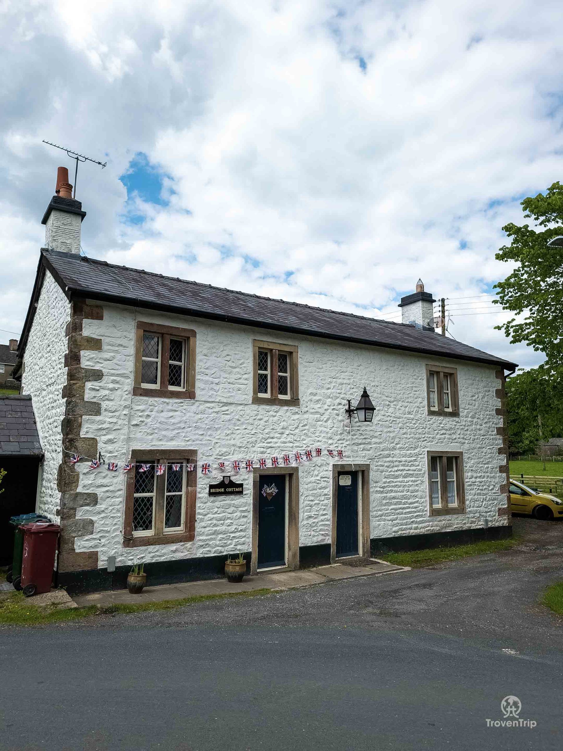
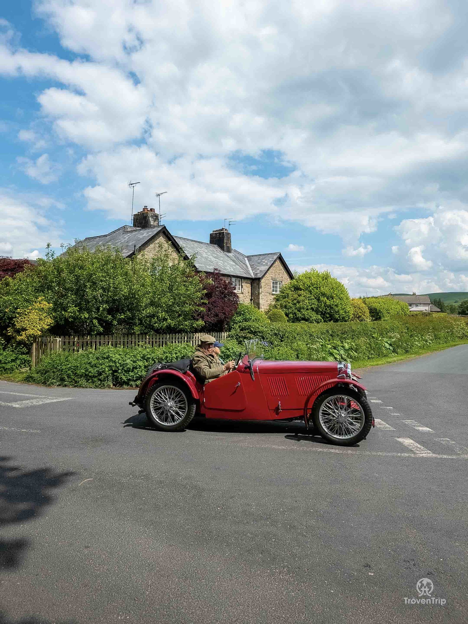
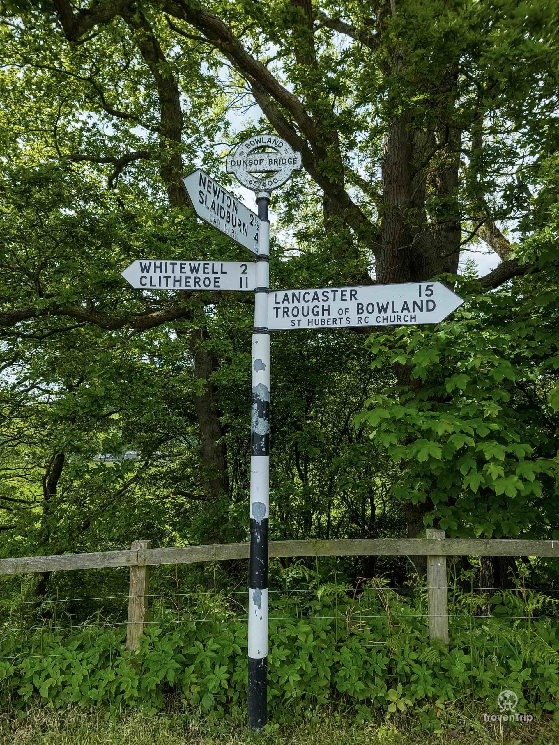
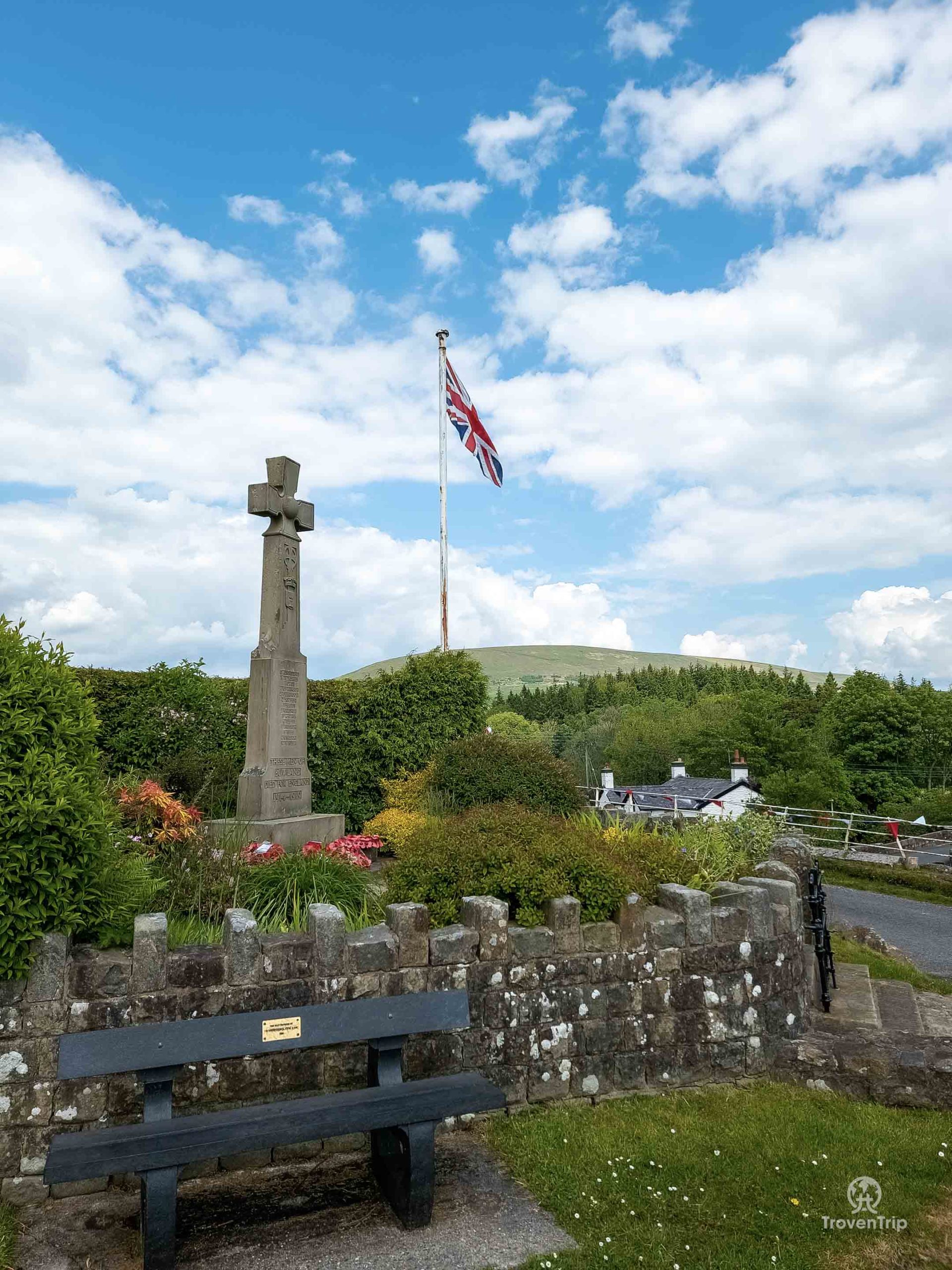
Having now crossed the Ribble Valley and entered the edge of the Forest of Bowland, I decide to continue on and visit a village we didn’t make it to on another previous trip exploring the Forest of Bowland Area of Outstanding Natural Beauty (this day out is still a blog in progress!)… Dunsop Bridge.
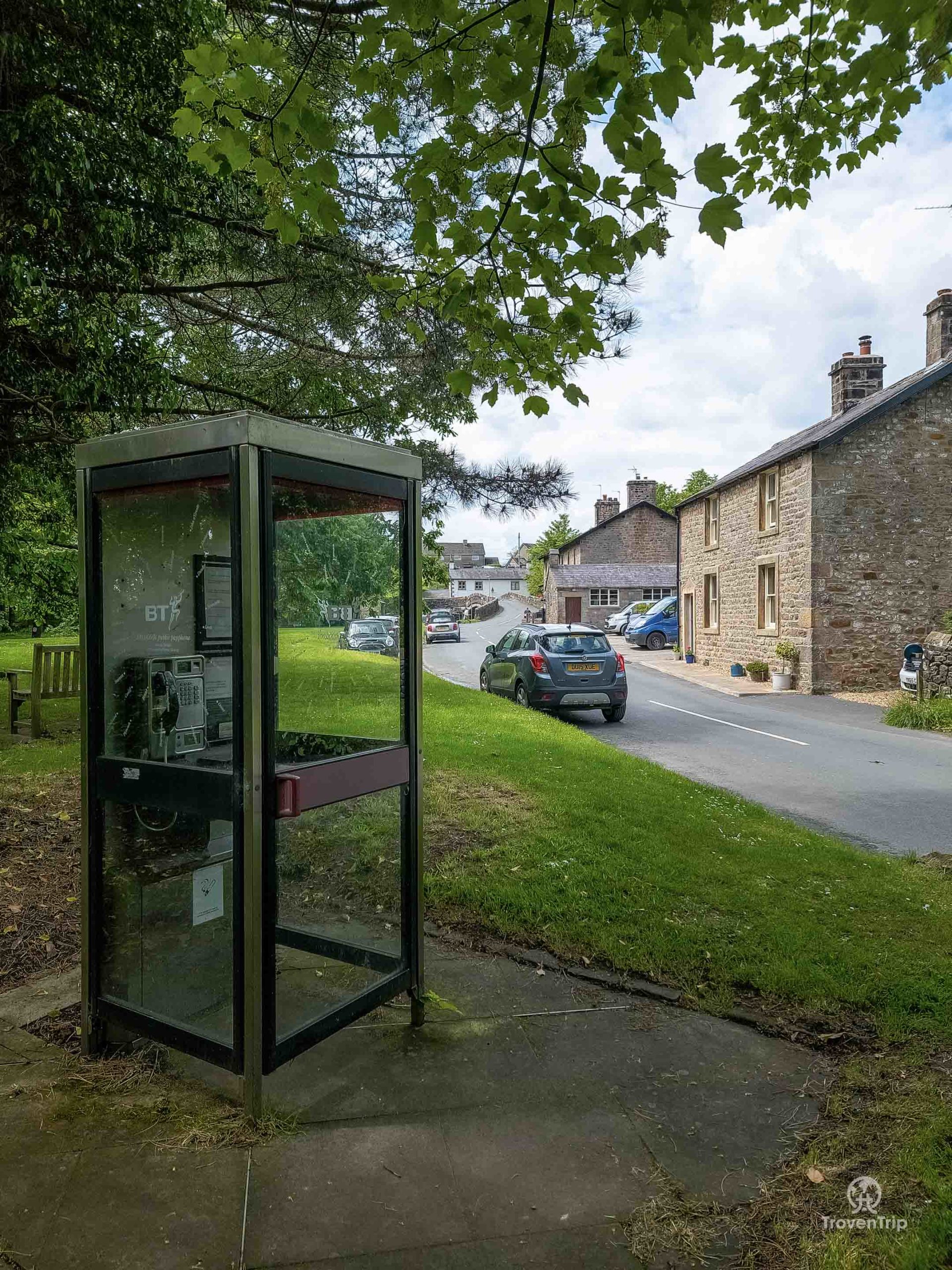
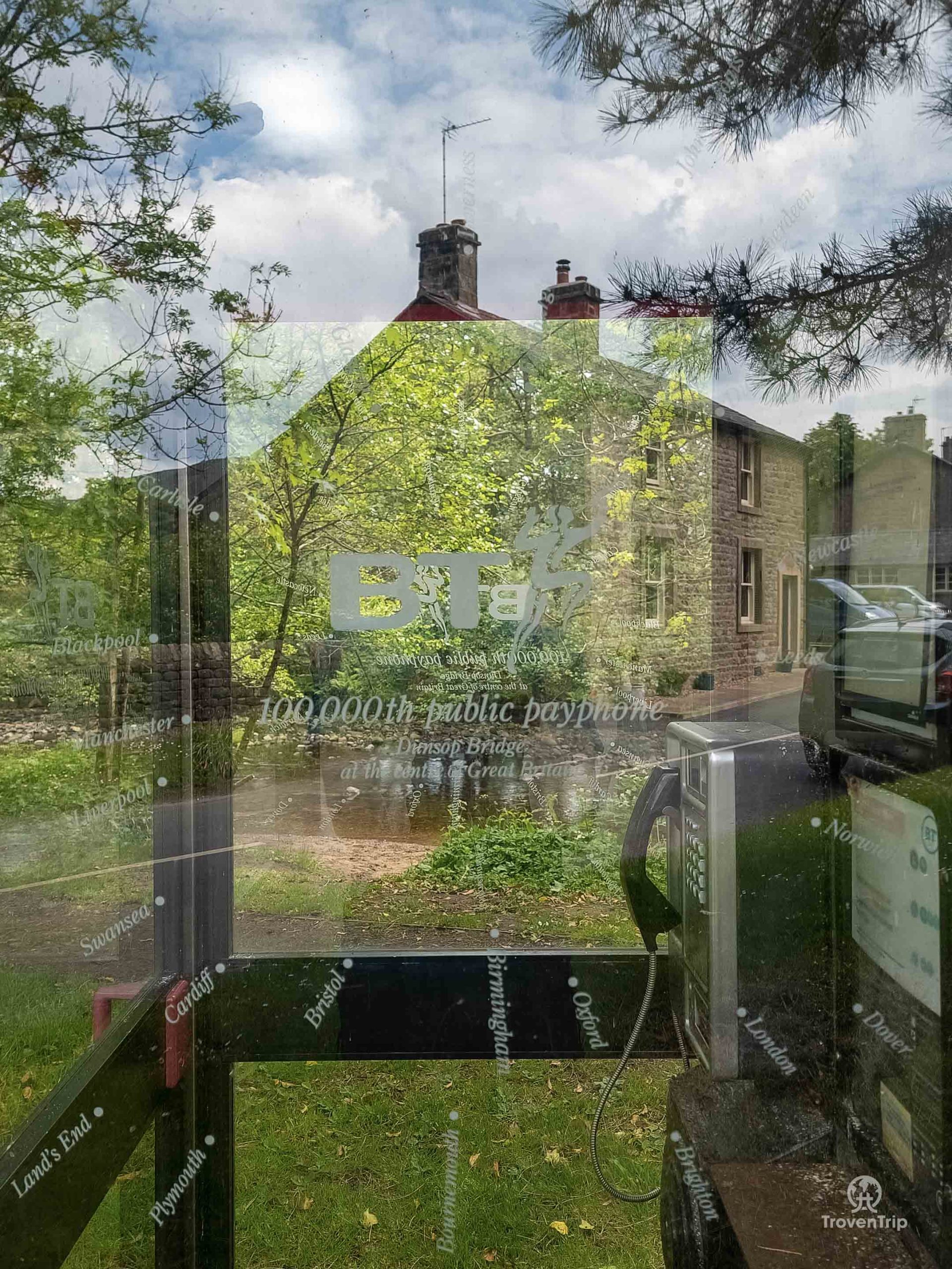
And while the village is very picturesque and is a good starting point for lots of walks in the AONB (my idea of a long walk is now long gone), it also boasts a very interesting fact… it is the geographical centre of Great Britain according to the Ordnance Survey. And standing at the edge of the village is a very unassuming phone box, but this phone box was installed by BT as their 100,000th and was unveiled by the great Sir Ranulph Fiennes. Unfortunately it looks like someone has stolen the commemorative plaque which should be in the phone box!
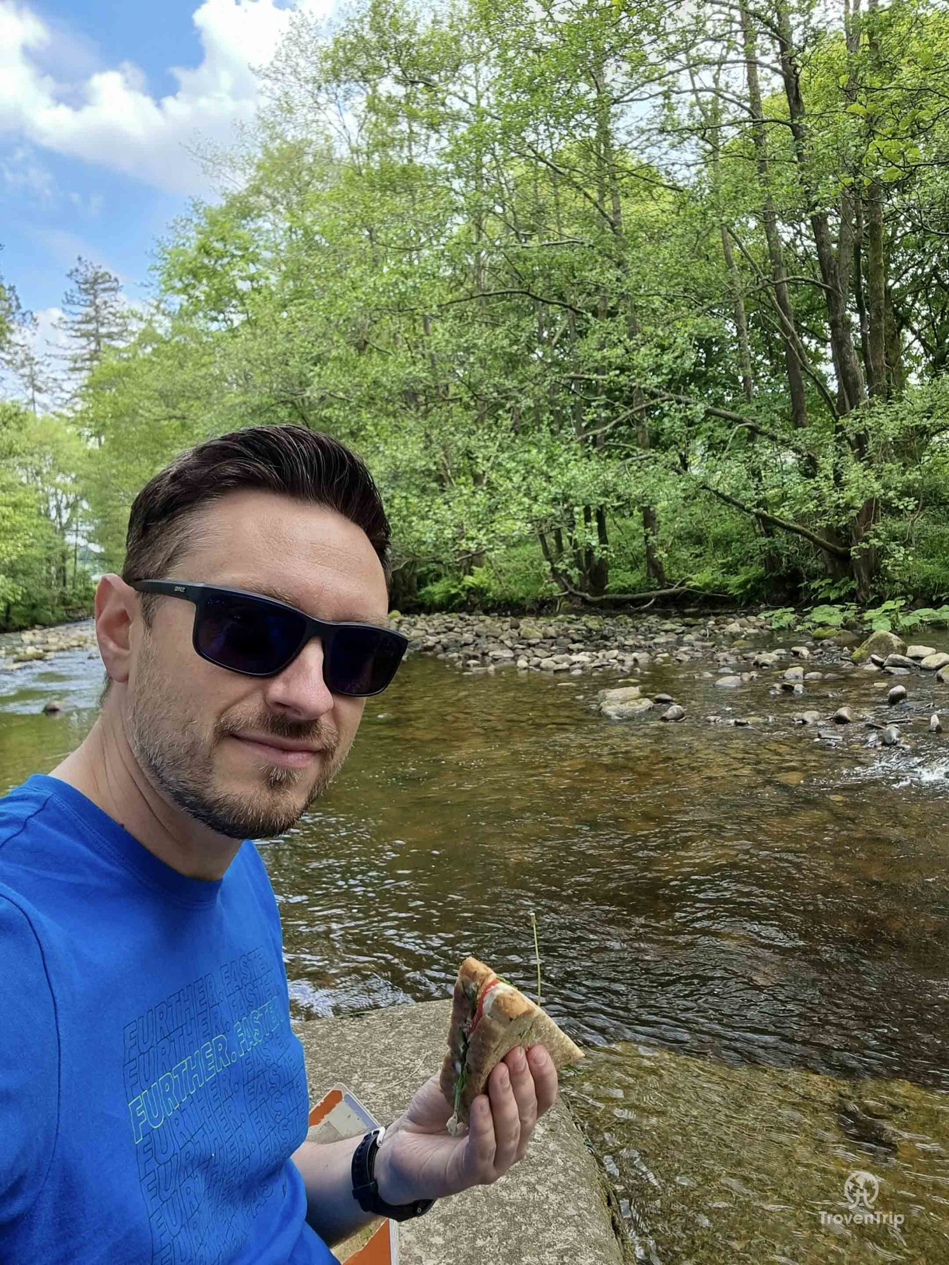
I wander around the village and surrounding area for an hour or so, before settling down at the rivers edge for some lunch. There is a great looking café in the village but I’ve already treated myself to a delicious supermarket meal deal sandwich in prep for my intended walk, so I make do with that while watching the ducks play around instead.
The village is also the gateway to the Trough of Bowland, a high road pass through the AONB, so I have a drive part way on that before turning around and starting to head home (more on this road in the upcoming Forest of Bowland blog!)
Singing Ringing Tree
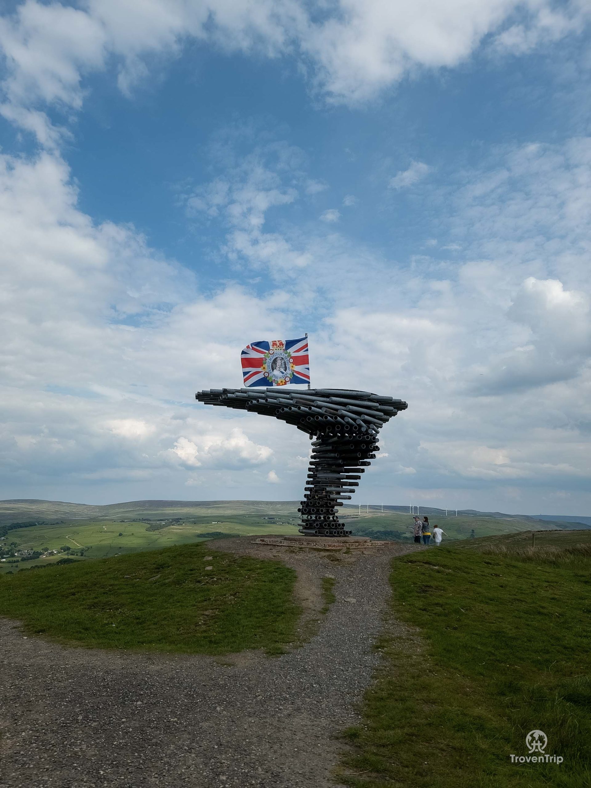
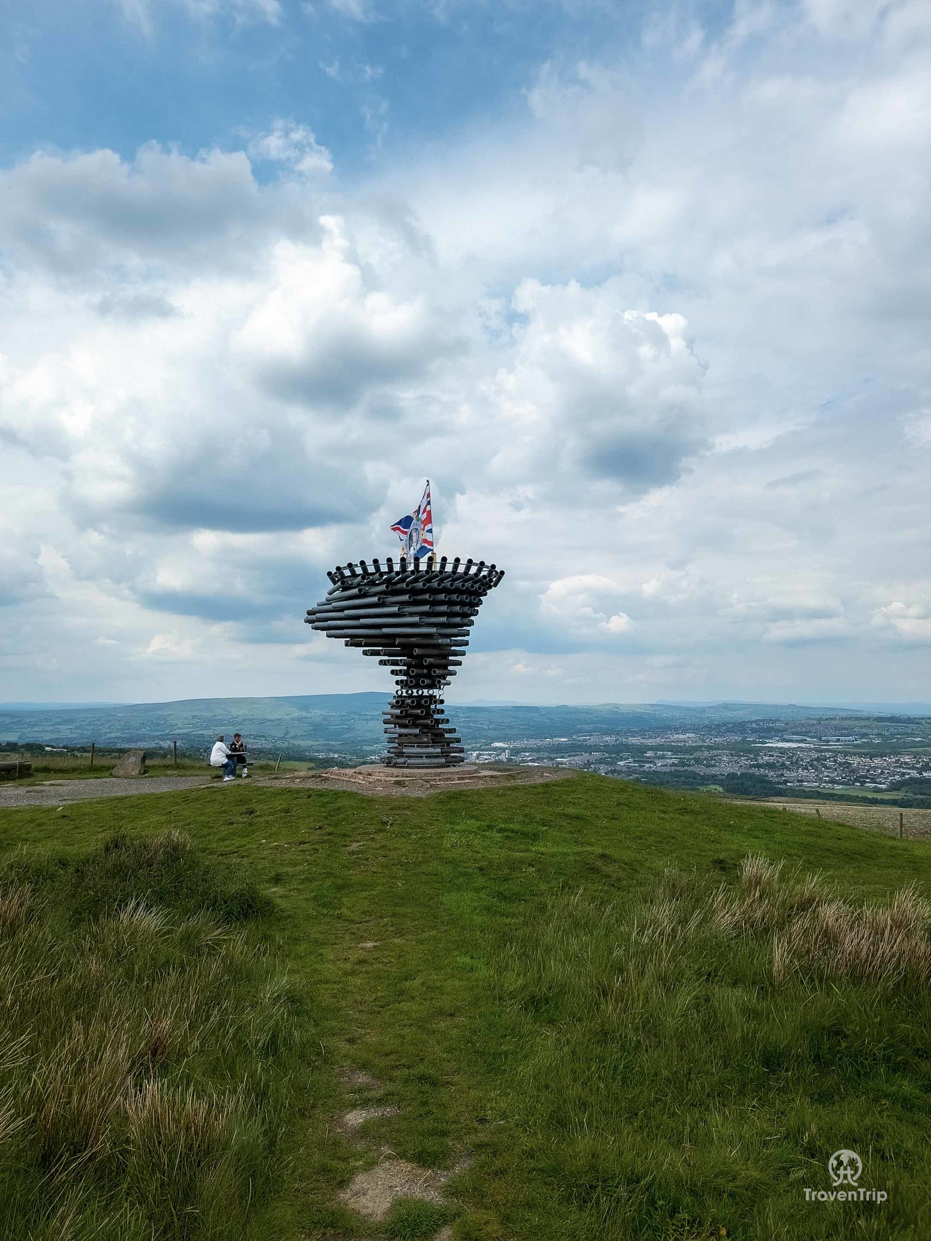
Having checked out the route home and wanting to continue my scenic drive rather than take the motorway, I plot one last stop on the way. High in the hills overlooking Burnley is the Singing Ringing Tree, a musical art installation made to look like a tree which plays notes as the wind whistles through the pipes.
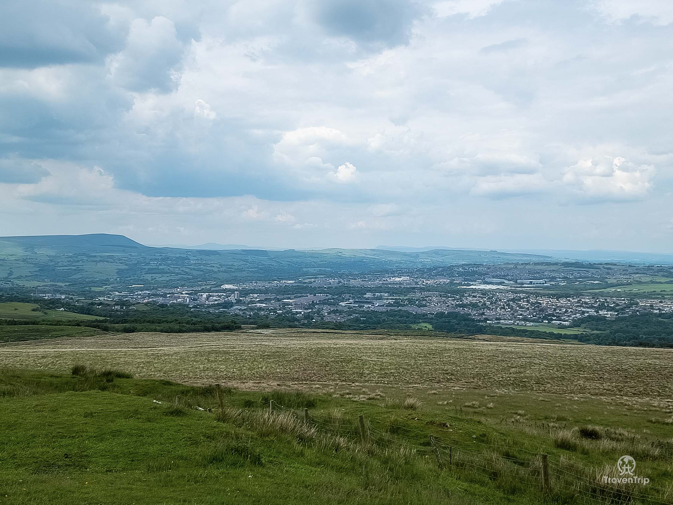
It takes about 5-minutes to walk to it from the car park, and while the views over Burnley and as far as Pendle Hill are spectacular, I have to say I’m a little disappointed with the ‘Tree’ itself. It’s a lot smaller than I expected from the photos, and despite it being quite windy on top of the hill there isn’t much noise coming from it. Maybe it needs to be super windy for it to sing!
It’s been a very different day out than I’d planned, but it’s been good to explore some small villages I otherwise probably wouldn’t have visited. And if you follow our advice in our original Ribble Valley blog and visit the area, then I would definitely recommend combining some of the villages from this trip with the places we visited in that blog. And maybe you’ll also be able to get parked and enjoy a walk up Pendle Hill!

Be the first to leave a comment
Relateable posts
-
blog
-
United Kingdom
Jan 1, 2022Watch the Amazing Sunrise at Owler Tor and Hike Stanage Edge
Trek to see the sunrise at Owler Tor and then hike Stanage Edge on the…
-
blog
-
United Kingdom
Mar 21, 2021Exploring Pudsey’s Past and Present
When I first thought about creating a travel blog, I have to say writing about…