


Are you looking for a beach a little less crowded than Scarborough, Filey or Whitby? Then head to the secret beach of Hayburn Wyke… a hidden gem with a mystical waterfall just a few miles north of Scarborough!
While the beach may be covered in millions of pebbles and rocks rather than being a nice sandy lounging beach, you’re sure to find your adventurous side trying to find it and the reward once there is more than worth it!
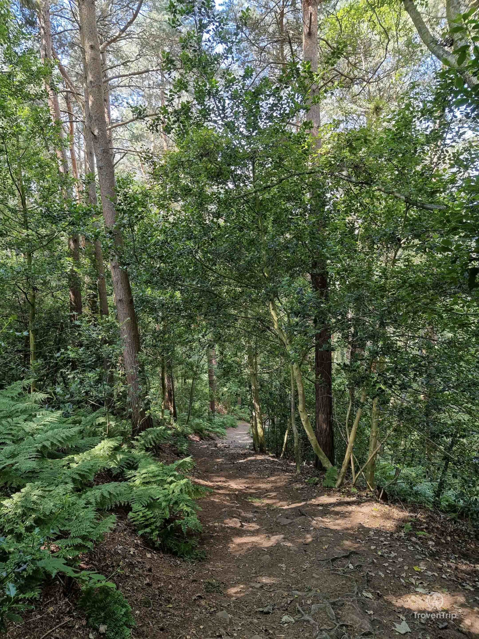
I start my hunt by joining the Cleveland Way, a national trail which runs up the Heritage Coastline on the East coast of northern England… I’m excited about finding the beach and waterfall, but I’m also excited as this is the first outing for my new walking shoes!
Almost instantly I’m met with an amazing view of the cliffs and sea as I make my way through the overgrown vegetation, following the trail North until I reach a small, wooded area.

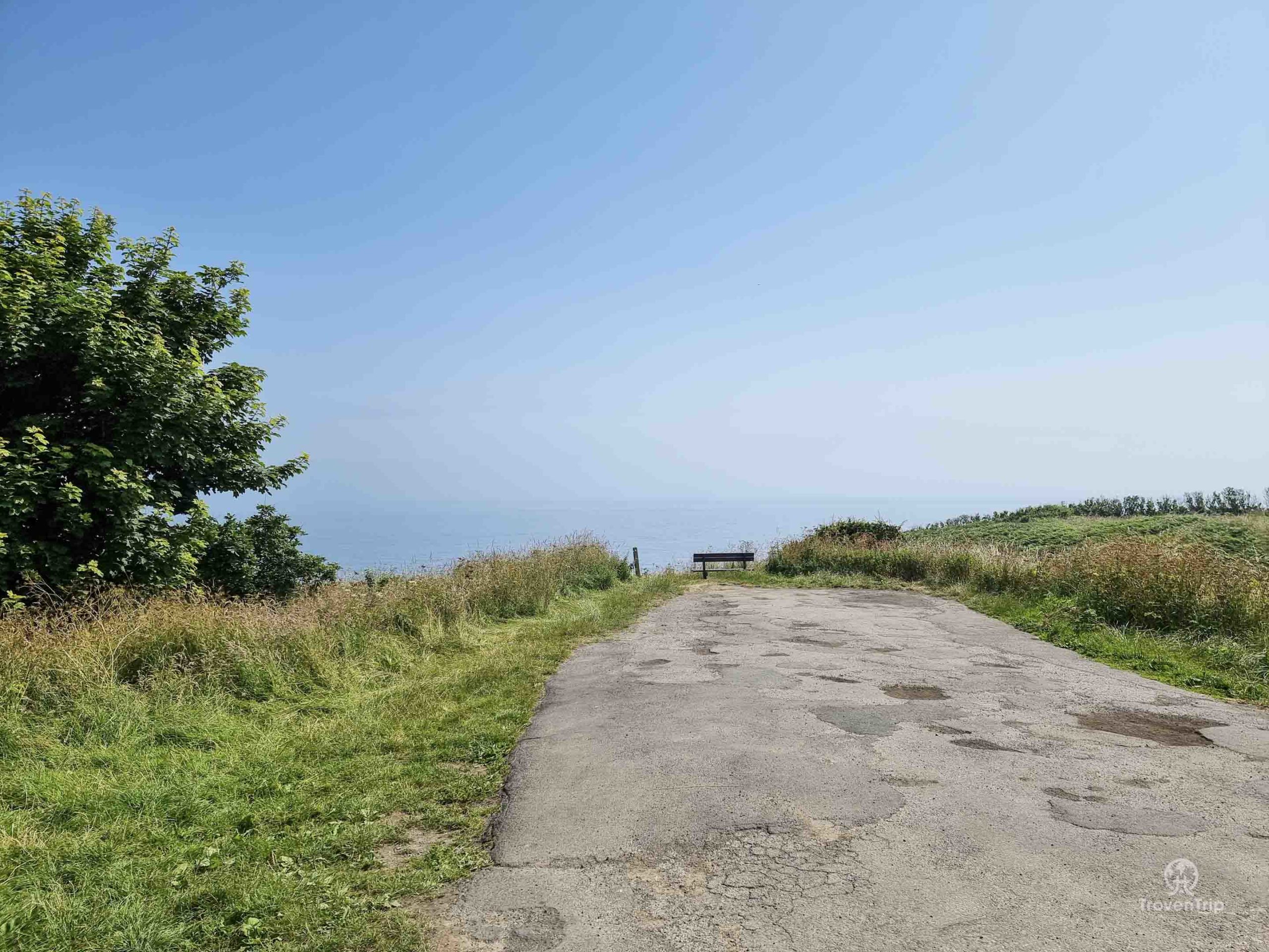

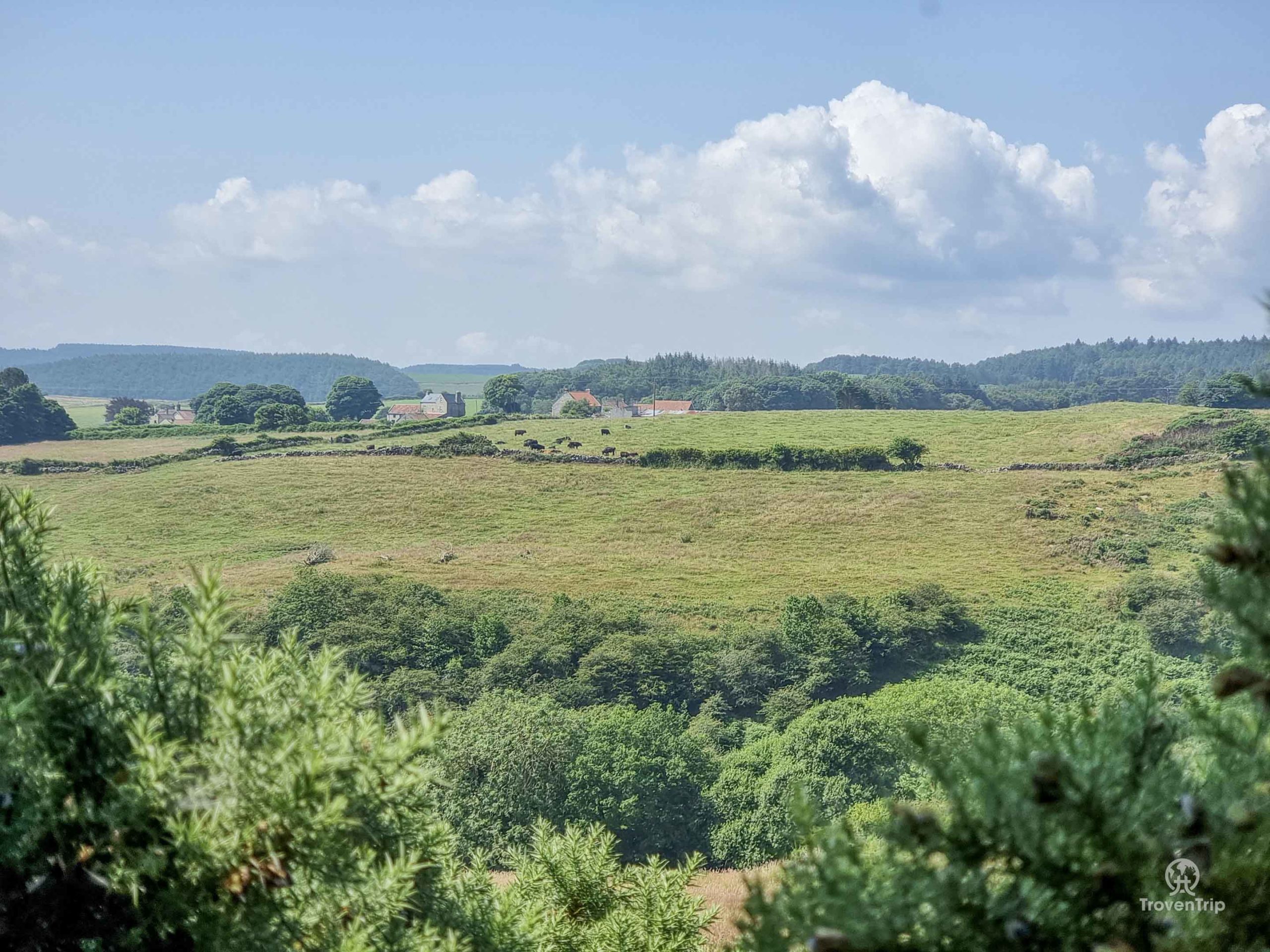
After climbing quite a steep but easily manageable set of stairs (thanks to a good handrail), I’m back out in the open and skirting some farmer’s fields as I walk through the lush rolling meadows.
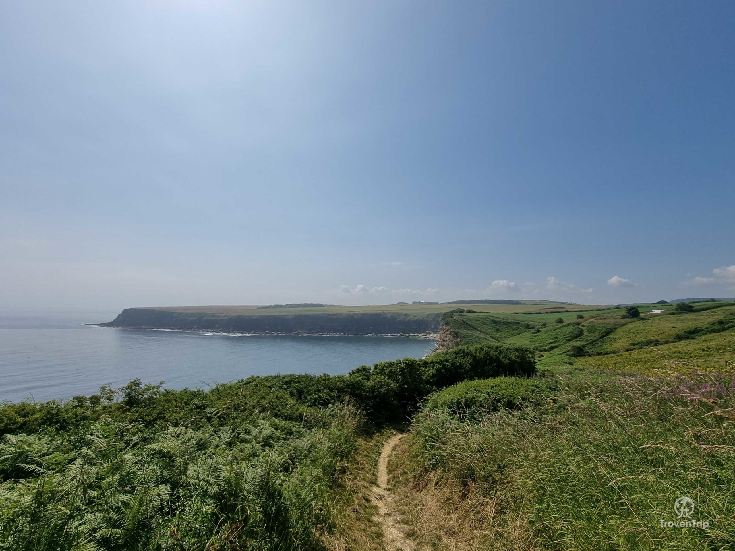
Every so often there’s a gap in the trees which opens up to a great vista of the cliffs and sea up ahead… the only slight problem being the fact I need to make my way down to the bottom at some point!
The fields are open and on a hot sunny day like today there isn’t much shelter from the sun, so I’d recommend taking lots of sun cream (which I did!) and a hat for some shade (which I didn’t!)

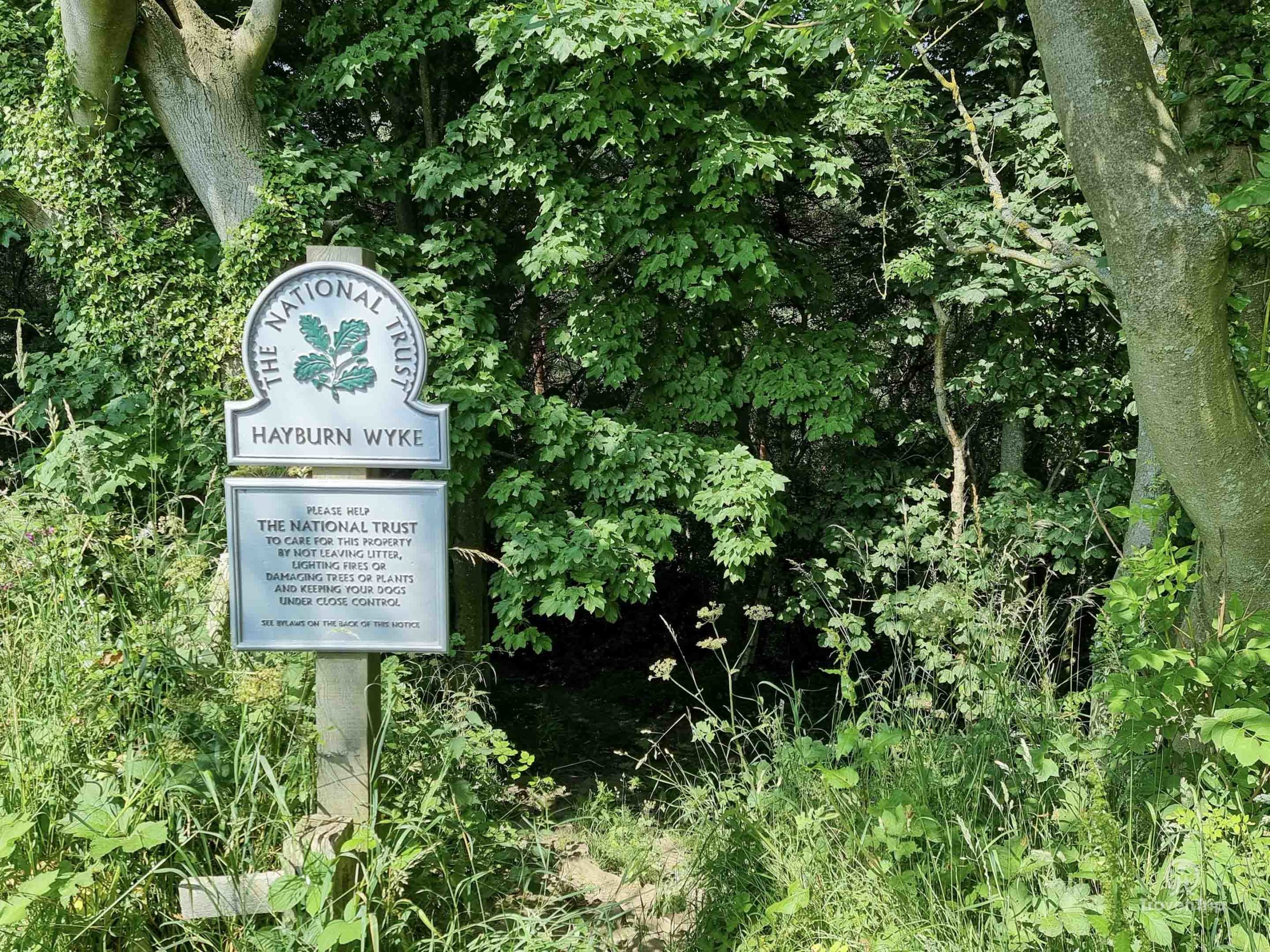
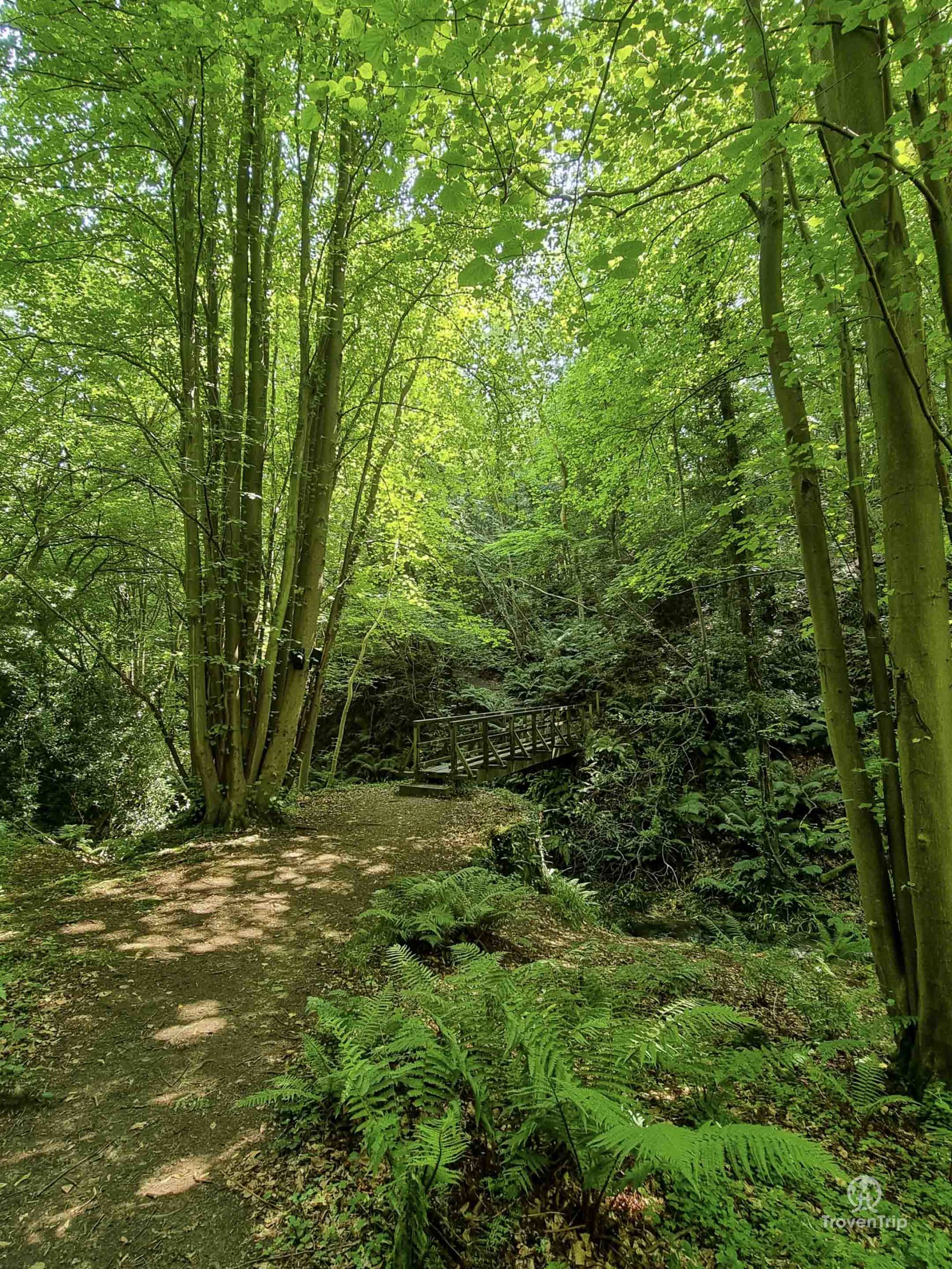
After half an hour I find some relief as I enter Hayburn Wyke woods… a National Trust owned woodland which seems very out of place being stuck on the side of the cliffs overlooking the North Sea!
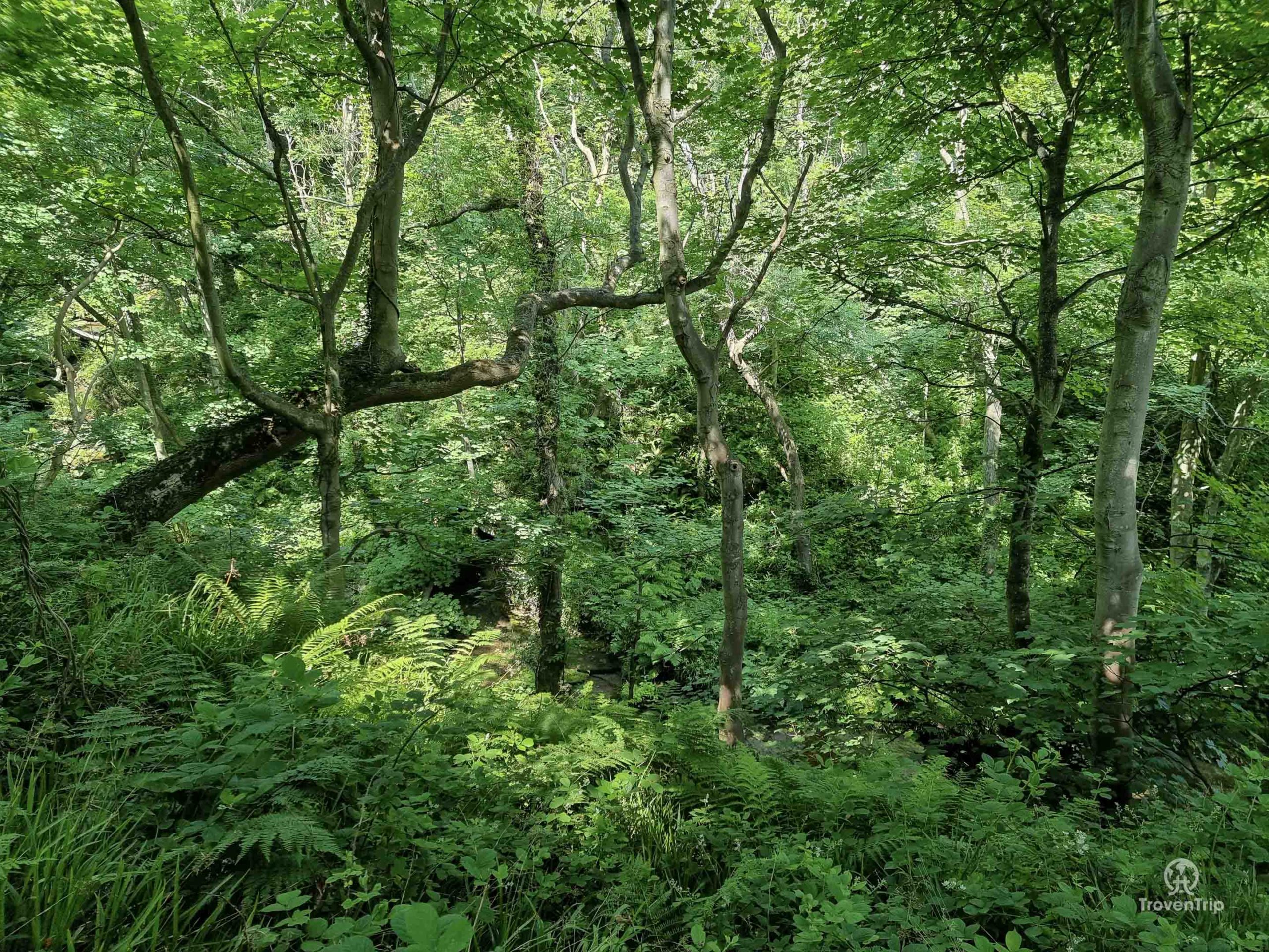
The shade doesn’t last for long though… I can hear the rushing water of the stream and I head downhill to follow it…

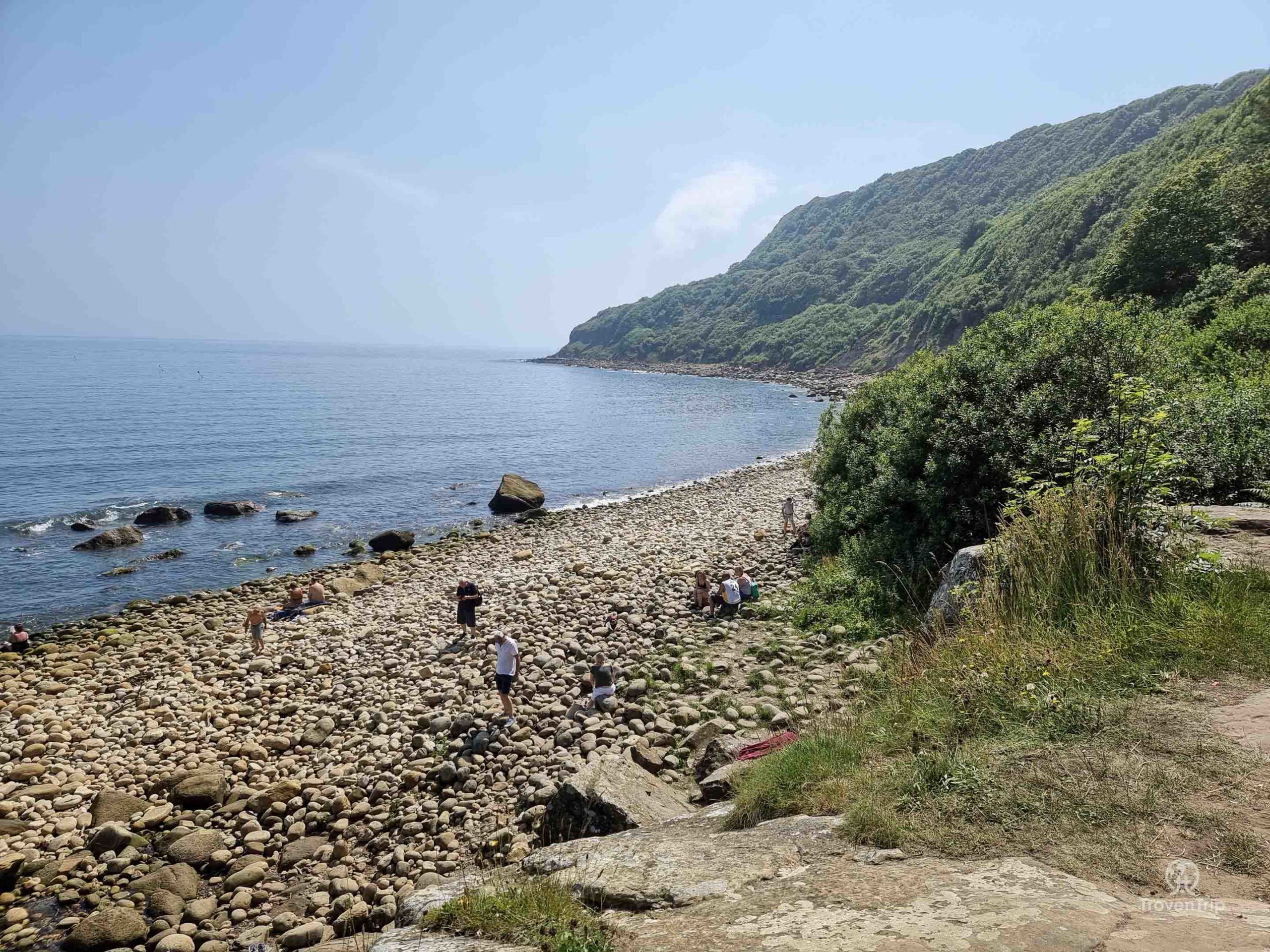
At the bottom of some steps the woodland opens up and I’m met with the most spectacular of views… the sweeping cliffs and woodland above, the rocky beach in front of me, and the stream flowing through the rocks and cascading into the pool below.
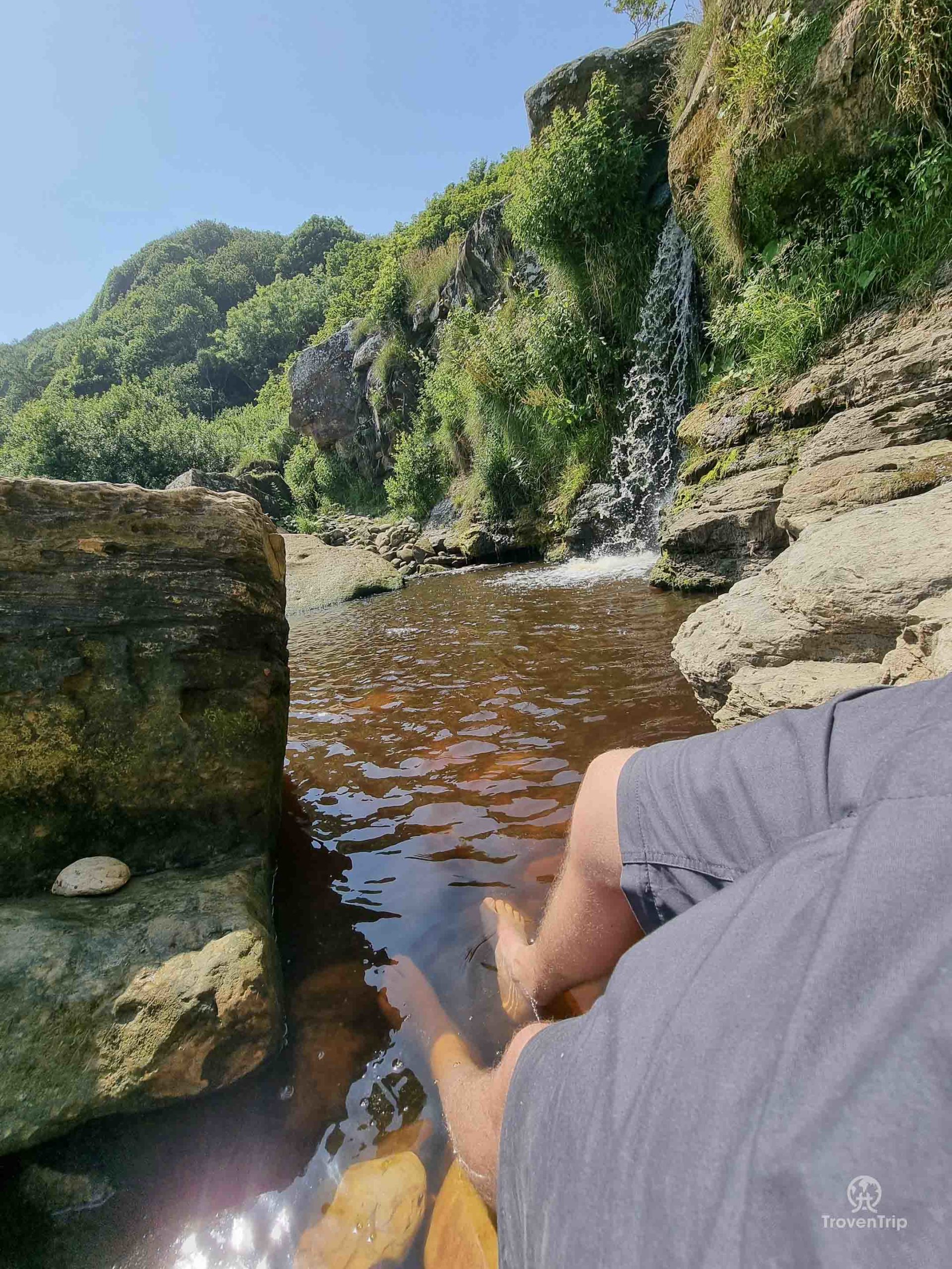
Clambering my way over the rocks I pick a spot right next to the waterfall to chill, and while I cool my feet in the pool in preparation for the walk back, I have lunch… what a perfect location!
As I look around I could easily mistake the location for somewhere in South East Asia… I’m sure that’s Khao Phing Kan from James Bond just over there!


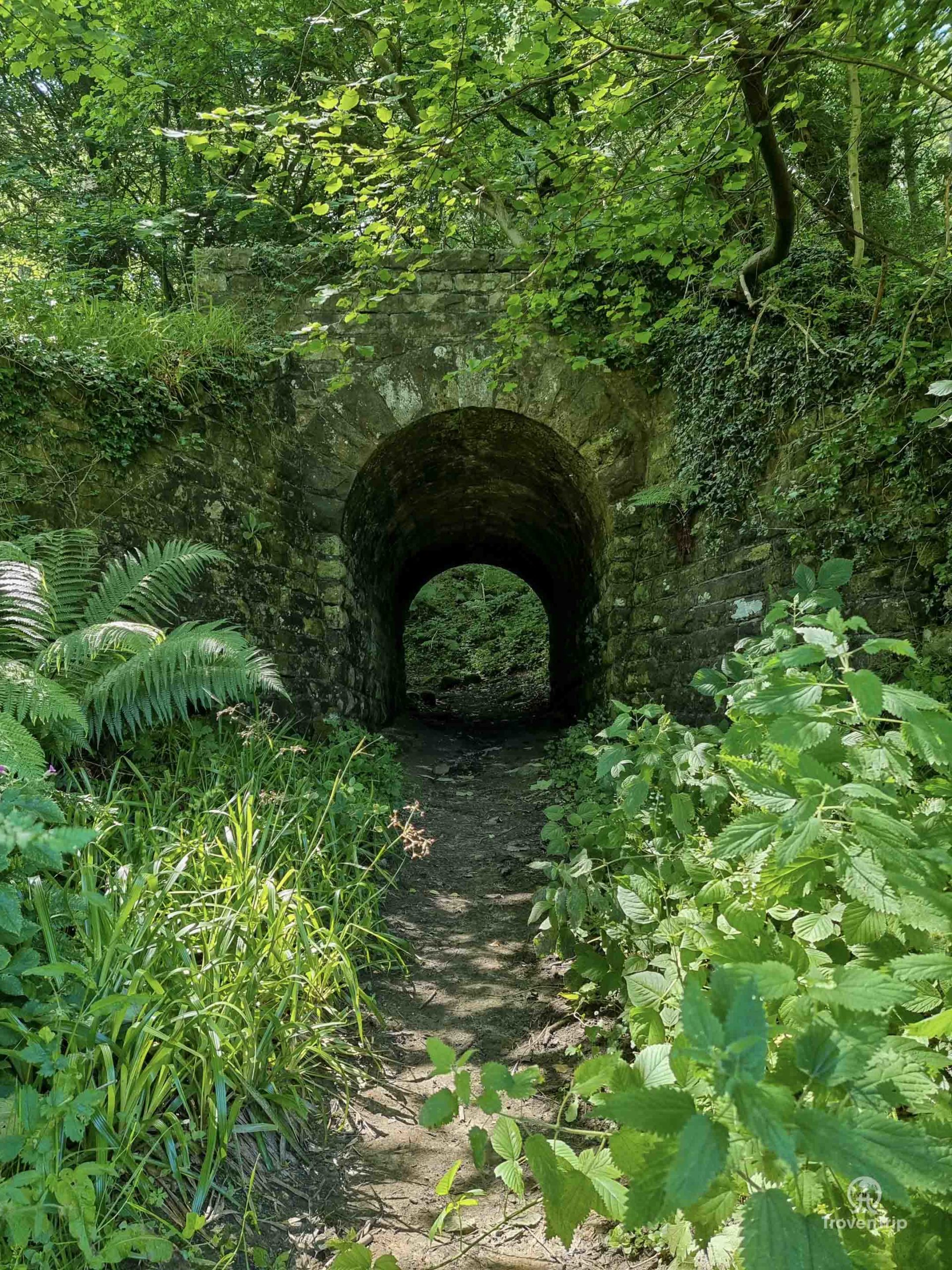
Feeling refreshed and re-energised, I pack up my stuff and head back into the woods… this time heading deeper into them rather than going back the way I came.
Finding the beach was surprisingly easy with the well trampled Cleveland Way leading me, but navigating through the woods is a bit more tricky! But it is beautiful… and while the beach felt like South East Asia, this feels more like the Amazon Rainforest in South America!


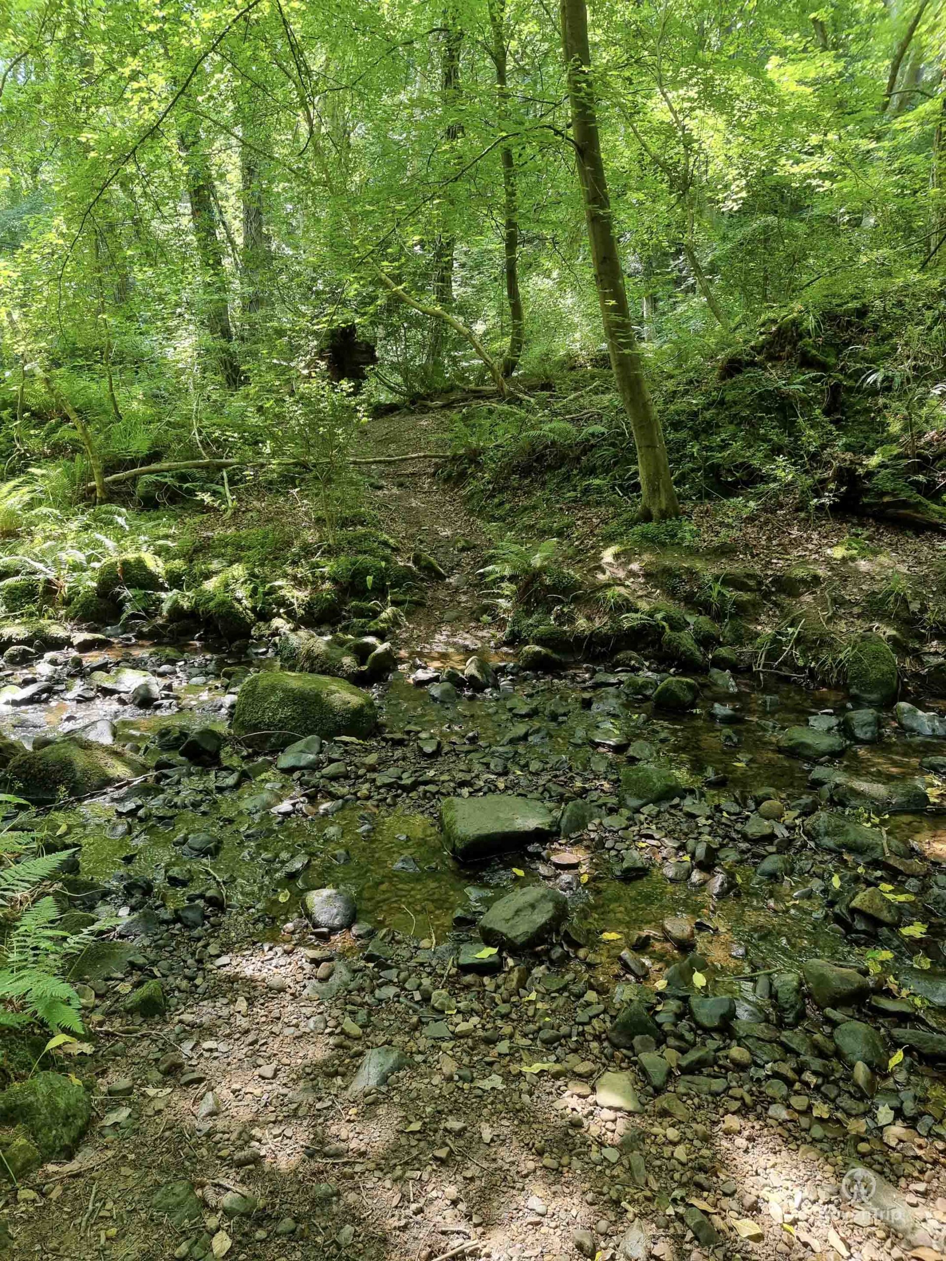
After one or two wrong turns I finally find the exit, having to cross over the stream and source of the waterfall, before leaving the woods and entering a wildflower meadow.
Having read some reviews of the walk before setting off, I’d seen mixed messages about this part… some people said that there is a bull in this field and they had to turn back, while others said it was easy to cross!
Fastening my backpack straps tight and getting myself into high alert, I make my way through the field, looking round at every little noise behind me ready to make a dash for safety!
As I’m about halfway across the field I spot the farmhouse over to the left, and it looks like there’s something lying underneath the tree in the distance. Looks like the heat has made the bull sleepy, and I can relax as I head to the opposite side and leave through the gate.


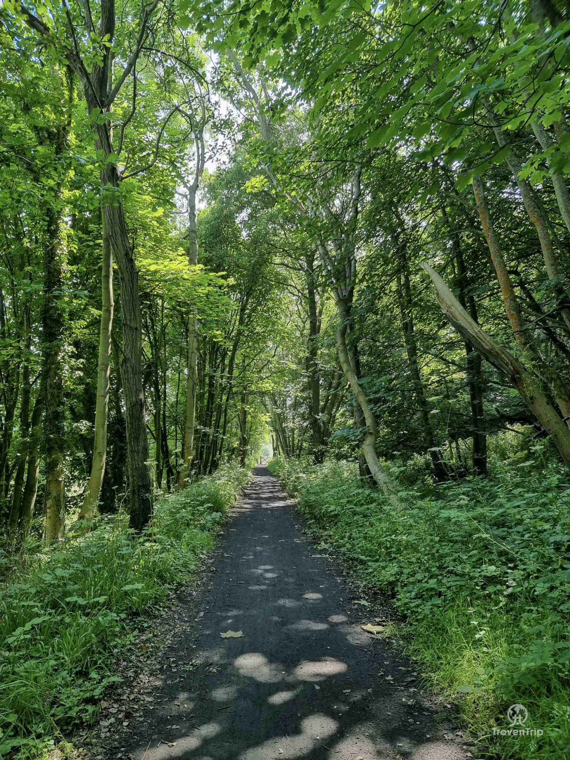

I then join the Cinder Path, an old railway line which had been converted into a cycle track. It makes the walk back very easy, but to be honest, it’s pretty boring!
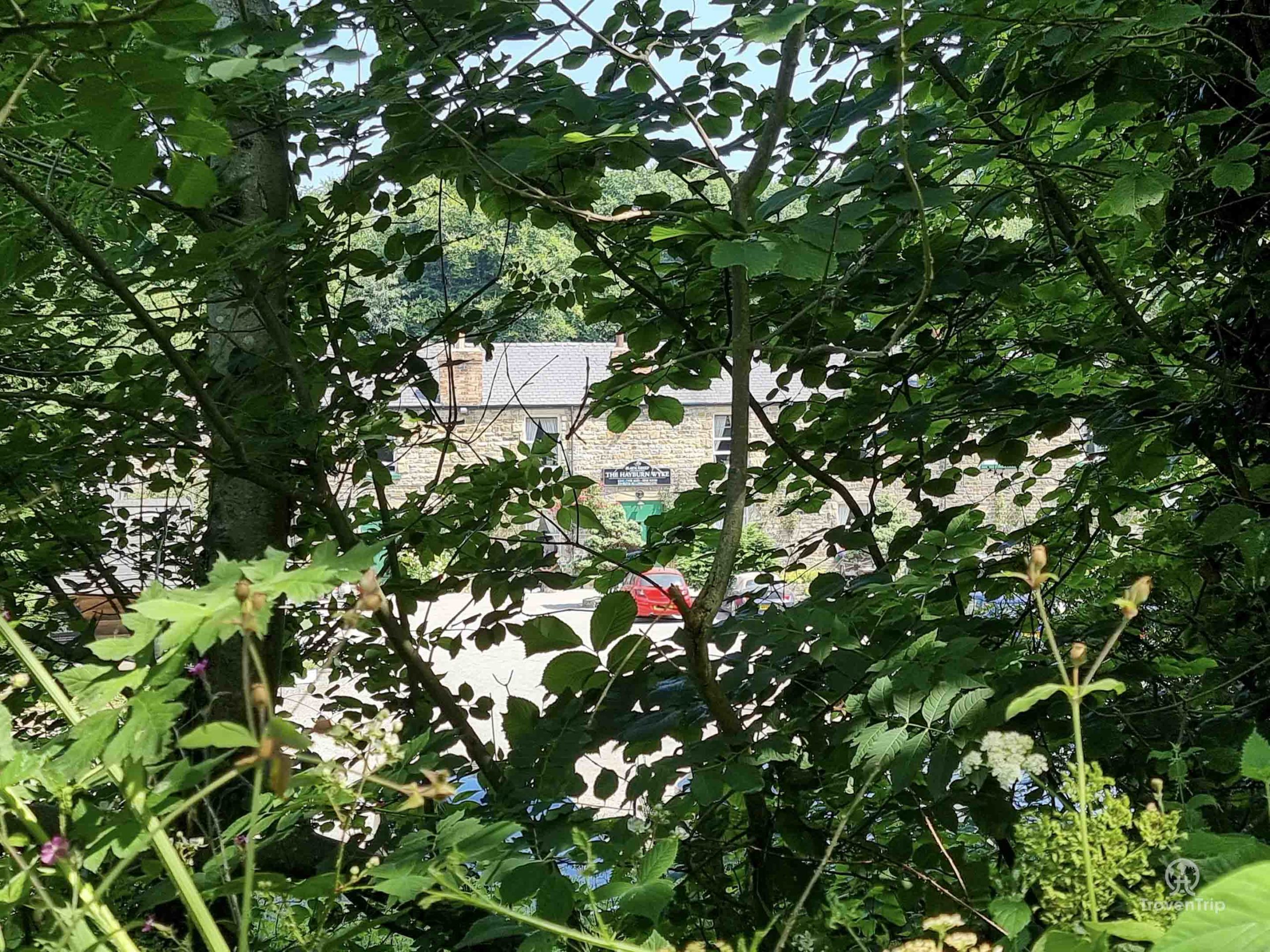
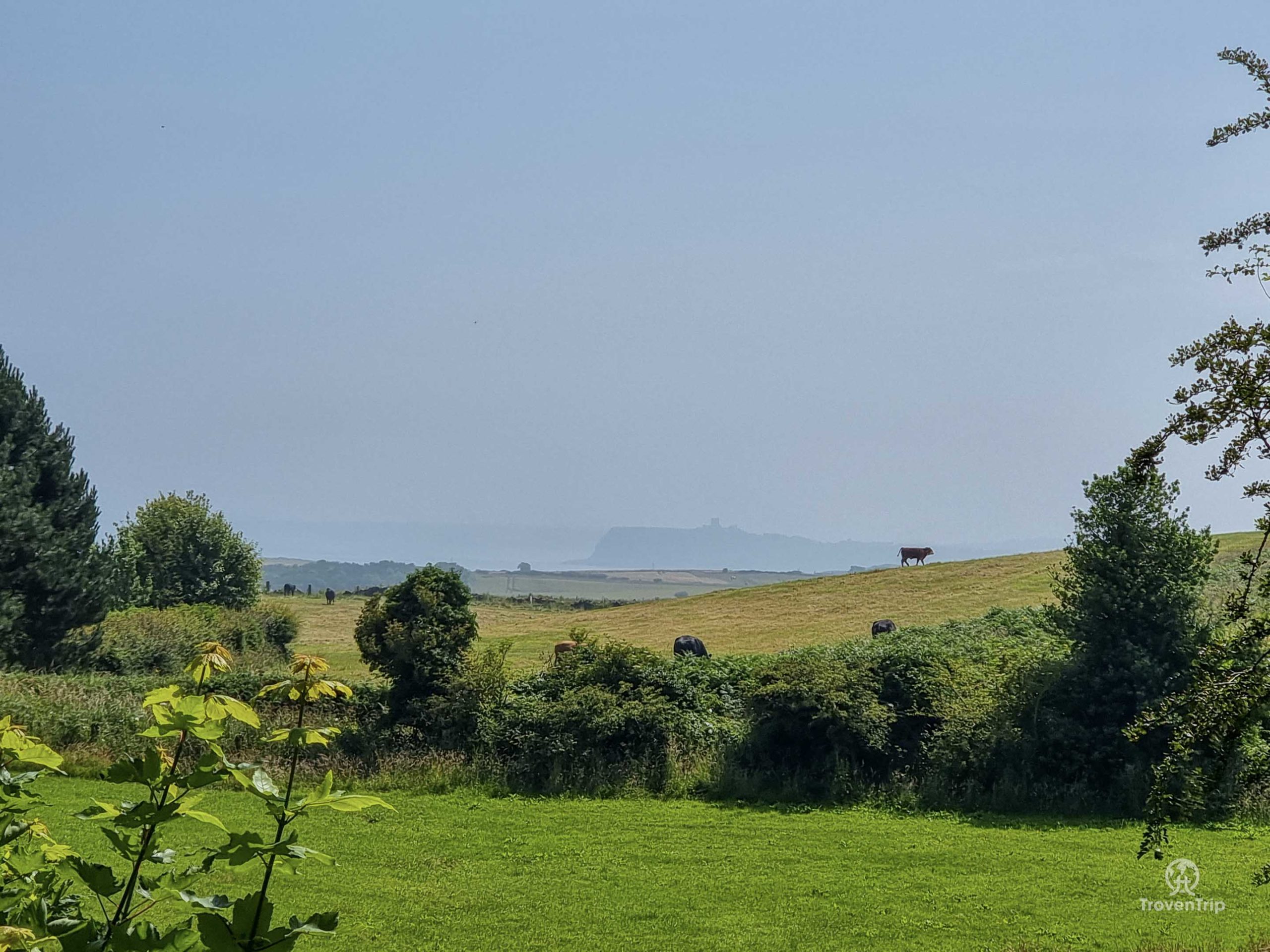
The only points of interest on the way is the Hayburn Wyke Inn where you can grab a drink or some food, and at one point the trees clear and I can just make out Scarborough Castle through the haze. Otherwise I’d suggest heading back the same way you came along the Cleveland Way when leaving the beach!
Despite the slightly mundane troop back to the car though, what an amazing spot Hayburn Wyke Waterfall and beach is!!
And while it wasn’t quite as deserted as you maybe think a hidden beach might be (after all there are articles and walks on how to find it!), it was an excellent alternative to the crowds on the more well-known local beaches of the bigger nearby towns!
How do I find Hayburn Wyke?
Park at the end of Newlands Lane in Cloughton… Google maps shows it as Salt Pans Road, but when you search for that name it takes you somewhere else! Use Newlands Lane for the Sat Nav and just follow it to the end until you can’t go any further without driving off the cliff! It does get quite narrow but opens up again at the end so you can turn around easily, and its free! See the map below
Be the first to leave a comment
Relateable posts
-
blog
-
United Kingdom
Oct 19, 2022Blackpool… a Must Visit Seaside Delight or a Must Avoid Run-Down Relic?
My heart is beating a thousand times a minute. My knuckles are turning white I’m…
-
blog
-
United Kingdom
Jun 4, 2021Chow’in Down in Leeds
We can finally go out to eat and drink!After what felt like the longest winter…